


Data
| Local code | 2D3 |
|---|---|
| Identifier | 2D3 |
| Type | Seaplane base |
| City | Palmer |
| Region | Alaska |
| Country | United States |
| Coordinates | 61.62770, -149.23900 |
| Coordinates (deg/min/sec) | 61° 37′ 39.72″ N 149° 14′ 20.39″ W |
| Elevation | 152 m (500 ft) |
| Scheduled service | no |
Travel gear that fits
Automatically selected recommendations for a trip to Gooding Lake Seaplane Base – based on climate, location and airport type.
 Alaska travel guide
Routes, towns and day trips across Alaska.
View on Amazon- United States travel guide
The overview for your trip: regions, culture, getting around and practical tips for United States.
View on Amazon  Alaska map
Detailed map for tours and trips in Alaska.
View on Amazon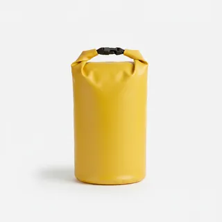 Waterproof dry bag
Boat, seaplane and island transfers: your electronics stay dry.
View on Amazon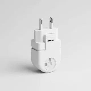 Travel adapter A/B
The destination uses socket types A/B at 120 V – the right adapter keeps everything charged.
View on Amazon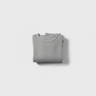 Thermal base layer
Cold destination: merino keeps you warm even when damp.
View on Amazon
Advertising: as an Amazon Associate we earn from qualifying purchases. The price stays the same for you.
Runways
| Runway | Length | Width | Surface | Lighted |
|---|---|---|---|---|
01W/19W | 914 m | 6 m | Water | no |
Nearby airports
- 9AK1Stormy Hill Seaplane Base0.5 km (0 mi)
- AA85Walby Lake Seaplane Base1.6 km (1 mi)
- 4AK0Niklason Lake Seaplane Base1.7 km (1 mi)
- 3AK2Niklason Lake Estates Airport2.5 km (2 mi)
- 34AKCardwell Strip2.7 km (2 mi)
- 14AKFour Corners Airport3.0 km (2 mi)
- 4AK6Wolf Lake Airport3.0 km (2 mi)
- 60AKCarol's Heliport3.1 km (2 mi)
- 99ZFinger Lake Seaplane Base3.1 km (2 mi)
- AK93Grouse Ridge Airport3.5 km (2 mi)
- 87AKSoloy Strip3.7 km (2 mi)
- 97AKHigh Ridge Association Airport4.1 km (3 mi)