
Dumplin Field
ICAO 86TNSmall airfield
Dumplin Field is a small airfield near Dandridge in Tennessee, United States. It is listed as ICAO 86TN. The airport is located at 36.0165° / -83.5441° at an elevation of 305 m (1,000 ft). There is one runway, the longest measuring 945 m. The nearest airport is Ray's Stall Airport, 4.1 km (3 mi) away. No scheduled service is recorded for this airfield.


Data
| ICAO code | 86TN |
|---|---|
| Local code | 86TN |
| Identifier | 86TN |
| Type | Small airfield |
| City | Dandridge |
| Region | Tennessee |
| Country | United States |
| Coordinates | 36.01646, -83.54407 |
| Coordinates (deg/min/sec) | 36° 00′ 59.25″ N 83° 32′ 38.66″ W |
| Elevation | 305 m (1,000 ft) |
| Scheduled service | no |
Travel gear that fits
Automatically selected recommendations for a trip to Dumplin Field – based on climate, location and airport type.
 Tennessee travel guide
Routes, towns and day trips across Tennessee.
View on Amazon- United States travel guide
The overview for your trip: regions, culture, getting around and practical tips for United States.
View on Amazon  United States photo book
Large-format photography of landscapes and cities in United States.
View on Amazon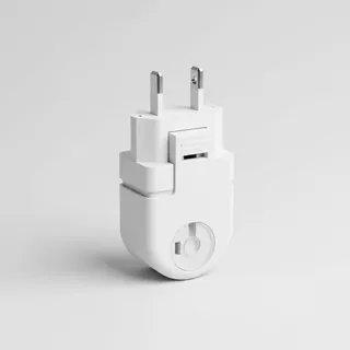 Travel adapter A/B
The destination uses socket types A/B at 120 V – the right adapter keeps everything charged.
View on Amazon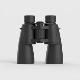 Spotting binoculars
Identify registrations and types from the fence – bright and handy.
View on Amazon Polarised sunglasses
Strong glare from sun, sand or snow – polarised lenses help.
View on Amazon
Advertising: as an Amazon Associate we earn from qualifying purchases. The price stays the same for you.
Runways
| Runway | Length | Width | Surface | Lighted |
|---|---|---|---|---|
5/23 | 945 m | 30 m | Turf | no |
Nearby airports
- 03TNEagles Landing Heliport11 km (7 mi)
- US-8468Dandridge Seaplane Base14 km (9 mi)
- 6TN3Sixty Six Heliport14 km (9 mi)
- 98TNLanding At River'S Edge15 km (9 mi)
- GKTGatlinburg-Pigeon Forge Airport18 km (11 mi)
- US-6479LeConte Medical Center Heliport18 km (11 mi)
- 56TNTHP District 1 Headquarters Heliport22 km (14 mi)
- TT48Wingman Aerodrome22 km (14 mi)
- 4TN0Melton Field23 km (14 mi)
- 7TN9Jacques Heliport23 km (14 mi)
- MORMorristown Regional Airport24 km (15 mi)
- US-8176Joppa Airport25 km (15 mi)