Shell 13 Airport
Closed airfield
Shell 13 Airport is a closed airfield in Alberta, Canada. The airport is located at 57.2667° / -111.4833°. The nearest airport is Fort MacKay/Albian Aerodrome, 6.1 km (4 mi) away. No scheduled service is recorded for this airfield.


Data
| Identifier | CA-0332 |
|---|---|
| Type | Closed airfield |
| Region | Alberta |
| Country | Canada |
| Coordinates | 57.26667, -111.48333 |
| Coordinates (deg/min/sec) | 57° 15′ 60.00″ N 111° 28′ 59.99″ W |
| Scheduled service | no |
Travel gear that fits
Automatically selected recommendations for a trip to Shell 13 Airport – based on climate, location and airport type.
 Alberta travel guide
Routes, towns and day trips across Alberta.
View on Amazon- Canada travel guide
The overview for your trip: regions, culture, getting around and practical tips for Canada.
View on Amazon  Canada road map
A printed map for planning – works without signal or battery.
View on Amazon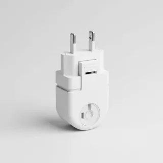 Travel adapter A/B
The destination uses socket types A/B at 120 V – the right adapter keeps everything charged.
View on Amazon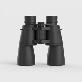 Spotting binoculars
Identify registrations and types from the fence – bright and handy.
View on Amazon Thermal base layer
Cold destination: merino keeps you warm even when damp.
View on Amazon
Advertising: as an Amazon Associate we earn from qualifying purchases. The price stays the same for you.
Runways
No runways are recorded for this airfield.
Nearby airports
- JHLFort MacKay/Albian Aerodrome6.1 km (4 mi)
- HZPFort Mackay / Horizon Airport18 km (11 mi)
- NMLFort McMurray / Mildred Lake Airport24 km (15 mi)
- YFIFort Mackay / Firebag30 km (19 mi)
- CFW4Muskeg Tower Airport38 km (24 mi)
- CFM2Birch Mountain Airport53 km (33 mi)
- CES7Fort McMurray Seaplane Base60 km (37 mi)
- YMMFort McMurray International Airport70 km (44 mi)
- CFL9Johnson Lake Airport77 km (48 mi)
- CFB5Namur Lake Airport80 km (50 mi)
- CLG7Fort McMurray / Legend Airfield85 km (53 mi)
- CFW2Gordon Lake Airport94 km (58 mi)