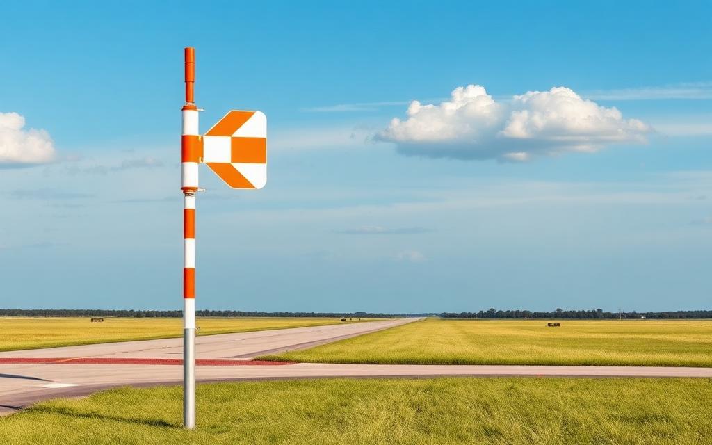
Pelican Airport
ICAO CFT8Small airfield
Pelican Airport is a small airfield near Pelican in Alberta, Canada. It is listed as ICAO CFT8. The airport is located at 56.1608° / -113.4740° at an elevation of 628 m (2,059 ft). There is one runway, the longest measuring 1,180 m. The nearest airport is Wabasca Airport, 31 km (19 mi) away. No scheduled service is recorded for this airfield.


Data
| ICAO code | CFT8 |
|---|---|
| Local code | CFT8 |
| Identifier | CFT8 |
| Type | Small airfield |
| City | Pelican |
| Region | Alberta |
| Country | Canada |
| Coordinates | 56.16080, -113.47400 |
| Coordinates (deg/min/sec) | 56° 09′ 38.88″ N 113° 28′ 26.40″ W |
| Elevation | 628 m (2,059 ft) |
| Scheduled service | no |
Travel gear that fits
Automatically selected recommendations for a trip to Pelican Airport – based on climate, location and airport type.
 Alberta travel guide
Routes, towns and day trips across Alberta.
View on Amazon- Canada travel guide
The overview for your trip: regions, culture, getting around and practical tips for Canada.
View on Amazon  Canada photo book
Large-format photography of landscapes and cities in Canada.
View on Amazon Travel adapter A/B
The destination uses socket types A/B at 120 V – the right adapter keeps everything charged.
View on Amazon Spotting binoculars
Identify registrations and types from the fence – bright and handy.
View on Amazon Thermal base layer
Cold destination: merino keeps you warm even when damp.
View on Amazon
Advertising: as an Amazon Associate we earn from qualifying purchases. The price stays the same for you.
Runways
| Runway | Length | Width | Surface | Lighted |
|---|---|---|---|---|
07/25 | 1,180 m | 23 m | Asphalt | yes |
Links
Nearby airports
- CEE5Wabasca Airport31 km (19 mi)
- CFM6Teepee Airport52 km (32 mi)
- CFB4Trout Lake Airport76 km (47 mi)
- CLS3Fort McMurray / South Liege Airfield78 km (49 mi)
- CFA5Grande Airport78 km (49 mi)
- CEG5Chipewyan Lake Airport88 km (55 mi)
- CFK4Calling Lake Airport95 km (59 mi)
- CLG3Liege / CNRL Airport95 km (59 mi)
- CNL2Fort McMurray / North Liege Airfield109 km (68 mi)
- CEH5Red Earth Creek Airport119 km (74 mi)
- CLG7Fort McMurray / Legend Airfield121 km (75 mi)
- CFF2Christina Basin Airport121 km (75 mi)