
Carson Airport
IATA CSNICAO KCXPMedium airport
Carson Airport is a medium airport near Carson City in Nevada, United States. It is listed as IATA CSN and ICAO KCXP. The airport is located at 39.1943° / -119.7343° at an elevation of 1,432 m (4,697 ft). There is one runway, the longest measuring 1,860 m. The nearest airport is Carson-Tahoe Hospital Heliport, 4.1 km (3 mi) away. No scheduled service is recorded for this airfield.


Data
| IATA code | CSN |
|---|---|
| ICAO code | KCXP |
| Local code | CXP |
| Identifier | KCXP |
| Type | Medium airport |
| City | Carson City |
| Region | Nevada |
| Country | United States |
| Coordinates | 39.19433, -119.73431 |
| Coordinates (deg/min/sec) | 39° 11′ 39.59″ N 119° 44′ 03.52″ W |
| Elevation | 1,432 m (4,697 ft) |
| Scheduled service | no |
Travel gear that fits
Automatically selected recommendations for a trip to Carson Airport – based on climate, location and airport type.
 Carson City travel guide
Sights, neighbourhoods and tips for Carson City – ideal for your arrival.
View on Amazon United States travel guide
The overview for your trip: regions, culture, getting around and practical tips for United States.
View on Amazon United States road map
A printed map for planning – works without signal or battery.
View on Amazon Noise-cancelling headphones
Shut out cabin noise and terminal announcements – the classic for frequent flyers.
View on Amazon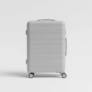 Carry-on trolley
Hard-shell case in standard cabin size – fits the overhead bins of most scheduled flights.
View on Amazon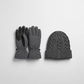 Gloves and beanie
For destinations with harsh winters – warm yet light in your bag.
View on Amazon
Advertising: as an Amazon Associate we earn from qualifying purchases. The price stays the same for you.
Runways
| Runway | Length | Width | Surface | Lighted |
|---|---|---|---|---|
09/27 | 1,860 m | 23 m | Asphalt | yes |
Links
Nearby airports
- NV60Carson-Tahoe Hospital Heliport4.1 km (3 mi)
- NV15Carson-Tahoe Regional Medical Center Heliport4.4 km (3 mi)
- 2Q5Parker Carson Airport4.5 km (3 mi)
- 3NV3Remlinger Ranch Heliport7.4 km (5 mi)
- NV13Bailey Ranch Airport13 km (8 mi)
- KA34Dayton Valley Airpark16 km (10 mi)
- US-2024Broken Bottles Airstrip20 km (13 mi)
- MEVMinden-Tahoe Airport22 km (13 mi)
- US-3634Bumpy Airstrip22 km (14 mi)
- 30NVLZ-52 Heliport22 km (14 mi)
- US-4254Big Meadow Airstrip25 km (16 mi)
- US-4109Too Many Horses Airstrip28 km (17 mi)