Cayo Coco Airport
Closed airfield
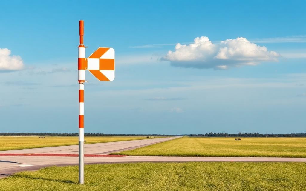
Cayo Coco Airport is a closed airfield near Cayo Coco in Ciego de Ávila Province, Cuba. The airport is located at 22.5132° / -78.5110° at an elevation of 2 m (6 ft). There is one runway, the longest measuring 1,600 m. The nearest airport is Jardines Del Rey Airport, 20 km (12 mi) away. No scheduled service is recorded for this airfield.


Data
| Identifier | CU-0104 |
|---|---|
| Type | Closed airfield |
| City | Cayo Coco |
| Region | Ciego de Ávila Province |
| Country | Cuba |
| Coordinates | 22.51320, -78.51100 |
| Coordinates (deg/min/sec) | 22° 30′ 47.52″ N 78° 30′ 39.61″ W |
| Elevation | 2 m (6 ft) |
| Scheduled service | no |
Travel gear that fits
Automatically selected recommendations for a trip to Cayo Coco Airport – based on climate, location and airport type.
 Ciego de Ávila Province travel guide
Routes, towns and day trips across Ciego de Ávila Province.
View on Amazon- Cuba travel guide
The overview for your trip: regions, culture, getting around and practical tips for Cuba.
View on Amazon  Spanish phrasebook
The essential phrases in Spanish – for taxis, hotels and restaurants.
View on Amazon Waterproof dry bag
Boat, seaplane and island transfers: your electronics stay dry.
View on Amazon Microfibre towel
Dries fast, weighs almost nothing – ideal in coastal and island regions.
View on Amazon Packable rain jacket
Changeable weather at your destination – windproof, water-repellent and packs down small.
View on Amazon
Advertising: as an Amazon Associate we earn from qualifying purchases. The price stays the same for you.
Runways
| Runway | Length | Width | Surface | Lighted |
|---|---|---|---|---|
08/26 | 1,600 m | 20 m | Asphalt | yes |
Links
Nearby airports
- CCCJardines Del Rey Airport20 km (12 mi)
- CU-0101Turiguanó Airfield25 km (16 mi)
- MUPAPunta Alegre Airport35 km (22 mi)
- CU-0052Falla Agricultural Airfield48 km (30 mi)
- CU-0051El Asiento Agricultural Airfield49 km (31 mi)
- CU-0049Morón Agricultural Airfield49 km (31 mi)
- AVIMáximo Gómez Airport61 km (38 mi)
- MJGMayajigua Airport65 km (40 mi)
- BWWLas Brujas Airport66 km (41 mi)
- CU-0048Cupeyes Agricultural Airfield71 km (44 mi)
- CU-0047Esmeralda Agricultural Airfield85 km (53 mi)
- CU-0053Jatibonico South Airport97 km (60 mi)