
Mudgee Airport
IATA DGEICAO YMDGMedium airport
Mudgee Airport is a medium airport near Mudgee in New South Wales, Australia. It is listed as IATA DGE and ICAO YMDG. The airport is located at -32.5648° / 149.6095° at an elevation of 471 m (1,545 ft). There are 2 runways, the longest measuring 1,739 m. The nearest airport is Mudgee Hospital Helipad, 4.7 km (3 mi) away. No scheduled service is recorded for this airfield.


Data
| IATA code | DGE |
|---|---|
| ICAO code | YMDG |
| Identifier | YMDG |
| Type | Medium airport |
| City | Mudgee |
| Region | New South Wales |
| Country | Australia |
| Coordinates | -32.56479, 149.60945 |
| Coordinates (deg/min/sec) | 32° 33′ 53.26″ S 149° 36′ 34.03″ E |
| Elevation | 471 m (1,545 ft) |
| Scheduled service | no |
Travel gear that fits
Automatically selected recommendations for a trip to Mudgee Airport – based on climate, location and airport type.
 Mudgee travel guide
Sights, neighbourhoods and tips for Mudgee – ideal for your arrival.
View on Amazon Australia travel guide
The overview for your trip: regions, culture, getting around and practical tips for Australia.
View on Amazon Australia road map
A printed map for planning – works without signal or battery.
View on Amazon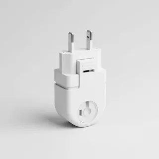 Travel adapter I
The destination uses socket types I at 230 V – the right adapter keeps everything charged.
View on Amazon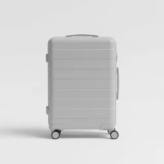 Carry-on trolley
Hard-shell case in standard cabin size – fits the overhead bins of most scheduled flights.
View on Amazon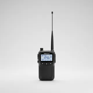 Airband scanner
Listen in on tower and approach frequencies – a classic among aviation fans.
View on Amazon
Advertising: as an Amazon Associate we earn from qualifying purchases. The price stays the same for you.
Runways
| Runway | Length | Width | Surface | Lighted |
|---|---|---|---|---|
04/22 | 1,739 m | 30 m | Asphalt | yes |
16/34 | 1,075 m | 30 m | Grass | no |
Links
Nearby airports
- YXMHMudgee Hospital Helipad4.7 km (3 mi)
- YXGTBilly Dunne Oval HLS24 km (15 mi)
- AU-0255Gulgong Aero Park Airport30 km (19 mi)
- AU-0256Wyaldra Airstrip30 km (19 mi)
- YRYLRylstone Aerodrome43 km (26 mi)
- YXRNRylstone Hospital Helipad43 km (27 mi)
- YWELWellington Airport59 km (37 mi)
- YXWTWellington-Rygate Park Heliport62 km (38 mi)
- YXDNDunedoo Hospital - Robinson Oval HLS65 km (40 mi)
- AU-0230bungebah airfield67 km (42 mi)
- AU-0317Grange View homestead airfield69 km (43 mi)
- YCSICassilis Rotherw Airport71 km (44 mi)