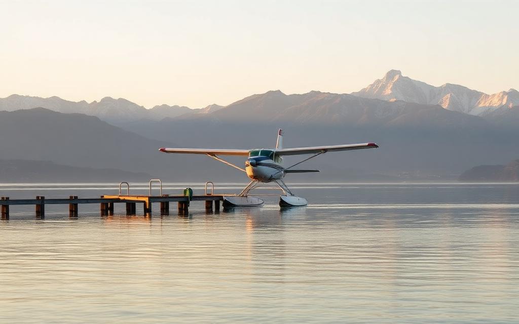
Barkol Dahe Airport
IATA DHHICAO ZWLKMedium airport
Barkol Dahe Airport is a medium airport near Barkol in Xinjiang Autonomous Region, China. It is listed as IATA DHH and ICAO ZWLK. The airport is located at 43.7565° / 93.1372° at an elevation of 1,743 m (5,720 ft). The nearest airport is Yaerbashi Test Range, 80 km (50 mi) away. No scheduled service is recorded for this airfield.


Data
| IATA code | DHH |
|---|---|
| ICAO code | ZWLK |
| Identifier | ZWLK |
| Type | Medium airport |
| City | Barkol |
| Region | Xinjiang Autonomous Region |
| Country | China |
| Coordinates | 43.75654, 93.13716 |
| Coordinates (deg/min/sec) | 43° 45′ 23.56″ N 93° 08′ 13.79″ E |
| Elevation | 1,743 m (5,720 ft) |
| Scheduled service | no |
Travel gear that fits
Automatically selected recommendations for a trip to Barkol Dahe Airport – based on climate, location and airport type.
 Barkol travel guide
Sights, neighbourhoods and tips for Barkol – ideal for your arrival.
View on Amazon China travel guide
The overview for your trip: regions, culture, getting around and practical tips for China.
View on Amazon Chinese phrasebook
The essential phrases in Chinese – for taxis, hotels and restaurants.
View on Amazon Hiking shoes
Mountainous surroundings near the airport – solid footwear pays off.
View on Amazon Noise-cancelling headphones
Shut out cabin noise and terminal announcements – the classic for frequent flyers.
View on Amazon Carry-on trolley
Hard-shell case in standard cabin size – fits the overhead bins of most scheduled flights.
View on Amazon
Advertising: as an Amazon Associate we earn from qualifying purchases. The price stays the same for you.
Runways
No runways are recorded for this airfield.