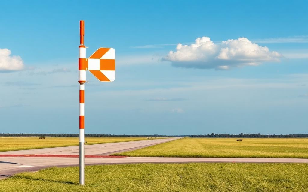
Val Thorens Altiport
Small airfield
Val Thorens Altiport is a small airfield near Les Belleville, Savoie in Auvergne-Rhône-Alpes, France. The airport is located at 45.2817° / 6.5695° at an elevation of 2,469 m (8,100 ft). There is one runway, the longest measuring 370 m. The nearest airport is Val Thorens Heliport, 1.7 km (1 mi) away. No scheduled service is recorded for this airfield.


Data
| Local code | LF7327 |
|---|---|
| Identifier | FR-0309 |
| Type | Small airfield |
| City | Les Belleville, Savoie |
| Region | Auvergne-Rhône-Alpes |
| Country | France |
| Coordinates | 45.28169, 6.56947 |
| Coordinates (deg/min/sec) | 45° 16′ 54.07″ N 6° 34′ 10.07″ E |
| Elevation | 2,469 m (8,100 ft) |
| Scheduled service | no |
Travel gear that fits
Automatically selected recommendations for a trip to Val Thorens Altiport – based on climate, location and airport type.
 Auvergne-Rhône-Alpes travel guide
Routes, towns and day trips across Auvergne-Rhône-Alpes.
View on Amazon- France travel guide
The overview for your trip: regions, culture, getting around and practical tips for France.
View on Amazon  French phrasebook
The essential phrases in French – for taxis, hotels and restaurants.
View on Amazon Hiking shoes
Mountainous surroundings near the airport – solid footwear pays off.
View on Amazon Gloves and beanie
For destinations with harsh winters – warm yet light in your bag.
View on Amazon Spotting binoculars
Identify registrations and types from the fence – bright and handy.
View on Amazon
Advertising: as an Amazon Associate we earn from qualifying purchases. The price stays the same for you.
Runways
| Runway | Length | Width | Surface | Lighted |
|---|---|---|---|---|
10A/28D | 370 m | 15 m | Dirt | no |
Nearby airports
- FR-1159Val Thorens Heliport1.7 km (1 mi)
- CVFCourchevel Altiport14 km (9 mi)
- MFXMéribel Altiport14 km (9 mi)
- FR-0521L'Arpette Altisurface15 km (9 mi)
- FR-0206Centre de Secours de Courchevel Heliport16 km (10 mi)
- FR-1074Vallée de la Maurienne Hospital Heliport18 km (11 mi)
- LFKDSollières Sardières Airfield18 km (11 mi)
- FR-0310Valloire-Bonnenuit Altisurface21 km (13 mi)
- FR-0216Centre Hospitalier Heliport23 km (14 mi)
- FR-0311Altisurface de Valmorel23 km (14 mi)
- FR-0242Saint-Rémy-de-Maurienne Airfield25 km (16 mi)
- IT-0930Elisuperficie vigili del fuoco di Bardonecchia26 km (16 mi)