
Mutoko Airport
ICAO FVMTMedium airport
Mutoko Airport is a medium airport near Mutoko in Mashonaland East Province, Zimbabwe. It is listed as ICAO FVMT. The airport is located at -17.4319° / 32.1845° at an elevation of 1,204 m (3,950 ft). There is one runway, the longest measuring 1,100 m. The nearest airport is Murewa Airport, 47 km (29 mi) away. No scheduled service is recorded for this airfield.


Data
| ICAO code | FVMT |
|---|---|
| Identifier | FVMT |
| Type | Medium airport |
| City | Mutoko |
| Region | Mashonaland East Province |
| Country | Zimbabwe |
| Coordinates | -17.43190, 32.18450 |
| Coordinates (deg/min/sec) | 17° 25′ 54.84″ S 32° 11′ 04.21″ E |
| Elevation | 1,204 m (3,950 ft) |
| Scheduled service | no |
Travel gear that fits
Automatically selected recommendations for a trip to Mutoko Airport – based on climate, location and airport type.
 Mutoko travel guide
Sights, neighbourhoods and tips for Mutoko – ideal for your arrival.
View on Amazon Zimbabwe travel guide
The overview for your trip: regions, culture, getting around and practical tips for Zimbabwe.
View on Amazon History & culture: Zimbabwe
Background knowledge that brings a trip to Zimbabwe to life.
View on Amazon Polarised sunglasses
Strong glare from sun, sand or snow – polarised lenses help.
View on Amazon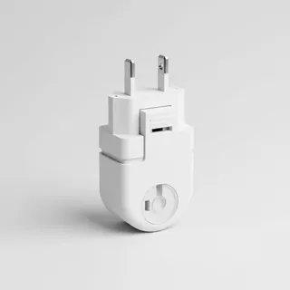 Travel adapter G
The destination uses socket types G at 230 V – the right adapter keeps everything charged.
View on Amazon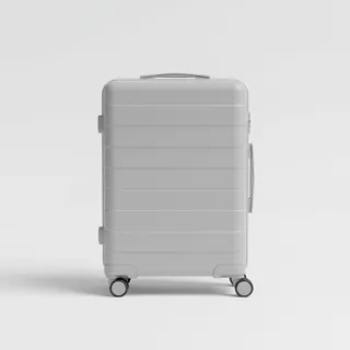 Carry-on trolley
Hard-shell case in standard cabin size – fits the overhead bins of most scheduled flights.
View on Amazon
Advertising: as an Amazon Associate we earn from qualifying purchases. The price stays the same for you.
Runways
| Runway | Length | Width | Surface | Lighted |
|---|---|---|---|---|
09/27 | 1,100 m | 18 m | BIT | no |
Links
Nearby airports
- FVMWMurewa Airport47 km (29 mi)
- FVOTKotwa Airport72 km (45 mi)
- FVHPHome Park Airport98 km (61 mi)
- FVMDMount Darwin Airport99 km (62 mi)
- FVABAberdeen Airport100 km (62 mi)
- ZW-0040Kwaraguza Airport103 km (64 mi)
- FVMAMarondera Airport113 km (70 mi)
- FVDUDudley Airport120 km (75 mi)
- ZW-0047Rusape South Airport128 km (79 mi)
- HRERobert Gabriel Mugabe International Airport128 km (80 mi)
- FVAEBraebourne Airport132 km (82 mi)
- MZ-0040Catandica Airport133 km (83 mi)