RAF Ballyhalbert
Closed airfield
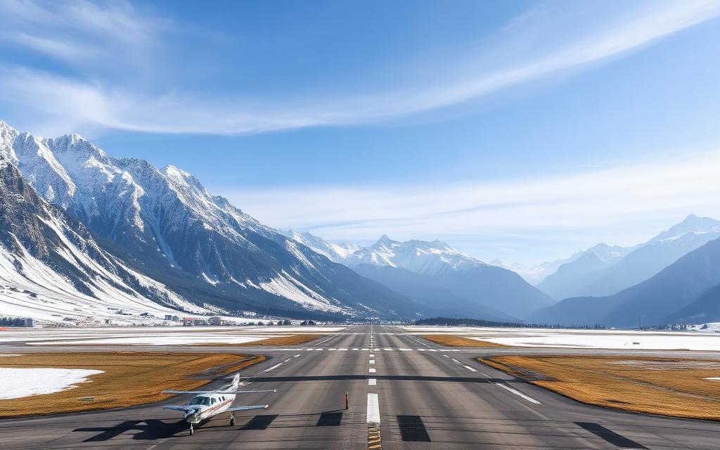
RAF Ballyhalbert is a closed airfield near Newtownards, County Down in Northern Ireland, United Kingdom. The airport is located at 54.4968° / -5.4781°. The nearest airport is RAF Millisle, 14 km (9 mi) away. No scheduled service is recorded for this airfield.


Data
| Identifier | GB-0108 |
|---|---|
| Type | Closed airfield |
| City | Newtownards, County Down |
| Region | Northern Ireland |
| Country | United Kingdom |
| Coordinates | 54.49676, -5.47806 |
| Coordinates (deg/min/sec) | 54° 29′ 48.35″ N 5° 28′ 41.01″ W |
| Scheduled service | no |
Travel gear that fits
Automatically selected recommendations for a trip to RAF Ballyhalbert – based on climate, location and airport type.
 Northern Ireland travel guide
Routes, towns and day trips across Northern Ireland.
View on Amazon- United Kingdom travel guide
The overview for your trip: regions, culture, getting around and practical tips for United Kingdom.
View on Amazon  United Kingdom cookbook
The country's cuisine to cook at home – before or after the trip.
View on Amazon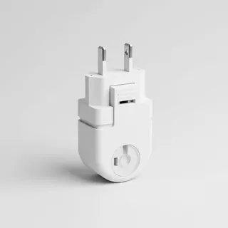 Travel adapter G
The destination uses socket types G at 230 V – the right adapter keeps everything charged.
View on Amazon Thermal base layer
Cold destination: merino keeps you warm even when damp.
View on Amazon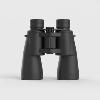 Spotting binoculars
Identify registrations and types from the fence – bright and handy.
View on Amazon
Advertising: as an Amazon Associate we earn from qualifying purchases. The price stays the same for you.
Runways
No runways are recorded for this airfield.
Links
Nearby airports
- EGADNewtownards Airport17 km (10 mi)
- BHDGeorge Best Belfast City Airport29 km (18 mi)
- GB-0448Slieve Croob Airfield35 km (22 mi)
- GB-1335Lisburn Heliport40 km (25 mi)
- BFSBelfast International Airport51 km (32 mi)
- GB-1297Galloway Community Hospital54 km (33 mi)
- GB-0478Rathfriland Airstrip56 km (35 mi)
- GB-0288Castle Kennedy Airfield57 km (35 mi)
- GB-0559Aughrim Airstrip58 km (36 mi)
- GB-1080Mayobridge Airstrip60 km (38 mi)
- GB-0410Tandragee Airstrip61 km (38 mi)
- GB-0355Dunnyvadden Airstrip61 km (38 mi)