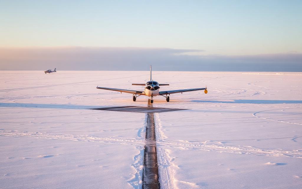
Currock Hill Glider Field
Small airfield
Currock Hill Glider Field is a small airfield near Newcastle upon Tyne, Tyne and Wear in England, United Kingdom. The airport is located at 54.9327° / -1.8467° at an elevation of 244 m (800 ft). There is one runway, the longest measuring 600 m. The nearest airport is Bywell Airfield, 5.4 km (3 mi) away. No scheduled service is recorded for this airfield.


Data
| Identifier | GB-0393 |
|---|---|
| Type | Small airfield |
| City | Newcastle upon Tyne, Tyne and Wear |
| Region | England |
| Country | United Kingdom |
| Coordinates | 54.93270, -1.84674 |
| Coordinates (deg/min/sec) | 54° 55′ 57.70″ N 1° 50′ 48.26″ W |
| Elevation | 244 m (800 ft) |
| Scheduled service | no |
Travel gear that fits
Automatically selected recommendations for a trip to Currock Hill Glider Field – based on climate, location and airport type.
 England travel guide
Routes, towns and day trips across England.
View on Amazon- United Kingdom travel guide
The overview for your trip: regions, culture, getting around and practical tips for United Kingdom.
View on Amazon  United Kingdom cookbook
The country's cuisine to cook at home – before or after the trip.
View on Amazon Travel adapter G
The destination uses socket types G at 230 V – the right adapter keeps everything charged.
View on Amazon Thermal base layer
Cold destination: merino keeps you warm even when damp.
View on Amazon Spotting binoculars
Identify registrations and types from the fence – bright and handy.
View on Amazon
Advertising: as an Amazon Associate we earn from qualifying purchases. The price stays the same for you.
Runways
| Runway | Length | Width | Surface | Lighted |
|---|---|---|---|---|
06/24 | 600 m | 50 m | Grass | no |
Links
Nearby airports
- GB-1028Bywell Airfield5.4 km (3 mi)
- GB-0720Newcastle City Heliport14 km (9 mi)
- NCLNewcastle International Airport15 km (10 mi)
- GB-0483High Flats Farm Airstrip17 km (11 mi)
- GB-0828Loadman Farm Airstrip19 km (12 mi)
- GB-0528Nissan Helipad23 km (15 mi)
- GB-0725Selby House Farm Airstrip30 km (19 mi)
- GB-0468Ewesley Airstrip32 km (20 mi)
- GB-0245Peterlee Airfield35 km (22 mi)
- GB-0728Greenhills Farm Airstrip36 km (22 mi)
- GB-0712Causey Park Airstrip UL37 km (23 mi)
- GB-0002Fishburn Airfield37 km (23 mi)