Bristol Filton Airport
Closed airfield
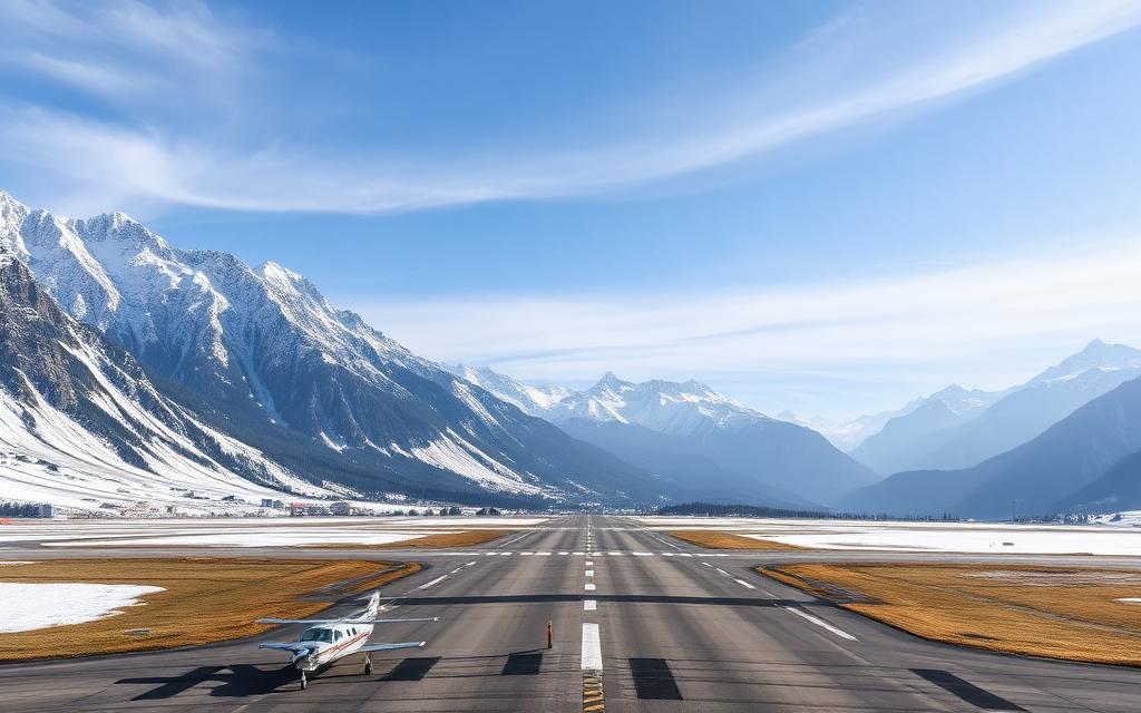
Bristol Filton Airport is a closed airfield near Bristol, Somerset in England, United Kingdom. The airport is located at 51.5194° / -2.5908° at an elevation of 69 m (226 ft). There is one runway, the longest measuring 2,467 m. The nearest airport is Almondsbury Helicopter Base, 4.2 km (3 mi) away. No scheduled service is recorded for this airfield.


Data
| Identifier | GB-1220 |
|---|---|
| Type | Closed airfield |
| City | Bristol, Somerset |
| Region | England |
| Country | United Kingdom |
| Coordinates | 51.51940, -2.59083 |
| Coordinates (deg/min/sec) | 51° 31′ 09.85″ N 2° 35′ 26.99″ W |
| Elevation | 69 m (226 ft) |
| Scheduled service | no |
Travel gear that fits
Automatically selected recommendations for a trip to Bristol Filton Airport – based on climate, location and airport type.
 England travel guide
Routes, towns and day trips across England.
View on Amazon- United Kingdom travel guide
The overview for your trip: regions, culture, getting around and practical tips for United Kingdom.
View on Amazon  United Kingdom photo book
Large-format photography of landscapes and cities in United Kingdom.
View on Amazon Travel adapter G
The destination uses socket types G at 230 V – the right adapter keeps everything charged.
View on Amazon Packable rain jacket
Changeable weather at your destination – windproof, water-repellent and packs down small.
View on Amazon Spotting binoculars
Identify registrations and types from the fence – bright and handy.
View on Amazon
Advertising: as an Amazon Associate we earn from qualifying purchases. The price stays the same for you.
Runways
| Runway | Length | Width | Surface | Lighted |
|---|---|---|---|---|
09/27 | 2,467 m | 91 m | Concrete | yes |
Links
Nearby airports
- GB-0838Almondsbury Helicopter Base4.2 km (3 mi)
- GB-0348Bristol Royal Infirmary Helipad6.7 km (4 mi)
- GB-0423Thornbury Castle Hotel Helipad11 km (7 mi)
- GB-0849Oldbury on Severn Airstrip13 km (8 mi)
- GB-0505Rookery Farm Airfield14 km (9 mi)
- GB-0399Chase Farm Airstrip15 km (9 mi)
- GB-0587Norton Malreward Airfield15 km (9 mi)
- GB-0844New Farm Airstrip15 km (10 mi)
- GB-0494Avon Lane Airfield16 km (10 mi)
- BRSBristol Airport18 km (11 mi)
- GB-0990Woolaston Airstrip19 km (12 mi)
- GB-0853Charmy Down Airstrip20 km (12 mi)