
Santo Ângelo Airport
IATA GELICAO SBNMMedium airport
Santo Ângelo Airport is a medium airport near Santo Ângelo in Rio Grande do Sul, Brazil. It is listed as IATA GEL and ICAO SBNM. The airport is located at -28.2825° / -54.1696° at an elevation of 322 m (1,056 ft). There is one runway, the longest measuring 1,625 m. The nearest airport is João Batista Bos Filho Airport, 33 km (21 mi) away. The airport is served by scheduled flights.


Data
| IATA code | GEL |
|---|---|
| ICAO code | SBNM |
| Local code | RS0008 |
| Identifier | SBNM |
| Type | Medium airport |
| City | Santo Ângelo |
| Region | Rio Grande do Sul |
| Country | Brazil |
| Coordinates | -28.28250, -54.16962 |
| Coordinates (deg/min/sec) | 28° 16′ 57.01″ S 54° 10′ 10.64″ W |
| Elevation | 322 m (1,056 ft) |
| Scheduled service | yes |
Travel gear that fits
Automatically selected recommendations for a trip to Santo Ângelo Airport – based on climate, location and airport type.
 Santo Ângelo travel guide
Sights, neighbourhoods and tips for Santo Ângelo – ideal for your arrival.
View on Amazon Brazil travel guide
The overview for your trip: regions, culture, getting around and practical tips for Brazil.
View on Amazon Portuguese phrasebook
The essential phrases in Portuguese – for taxis, hotels and restaurants.
View on Amazon Noise-cancelling headphones
Shut out cabin noise and terminal announcements – the classic for frequent flyers.
View on Amazon Carry-on trolley
Hard-shell case in standard cabin size – fits the overhead bins of most scheduled flights.
View on Amazon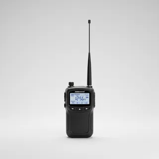 Airband scanner
Listen in on tower and approach frequencies – a classic among aviation fans.
View on Amazon
Advertising: as an Amazon Associate we earn from qualifying purchases. The price stays the same for you.
Runways
| Runway | Length | Width | Surface | Lighted |
|---|---|---|---|---|
12/30 | 1,625 m | 30 m | Asphalt | yes |
Links
Nearby airports
- IJUJoão Batista Bos Filho Airport33 km (21 mi)
- SNANEmpresa Agrícola Chiapeta Airport37 km (23 mi)
- SRALuis Alberto Lehr Airport54 km (34 mi)
- BR-0875Agropecuária São Bernardo Airport63 km (39 mi)
- SI8TCondomínio Aeronáutico Fênix Airport64 km (39 mi)
- SNW8Fazenda Santo Antônio Airport68 km (42 mi)
- CZBCarlos Ruhl Airport69 km (43 mi)
- SJ4MFazenda São Jorge70 km (44 mi)
- SD2NÉrico Veríssimo Airport71 km (44 mi)
- HRZWalter Bündchen Airport74 km (46 mi)
- BR-2190Campo Novo Airport77 km (48 mi)
- SSLGSão Luís Gonzaga Airport86 km (53 mi)