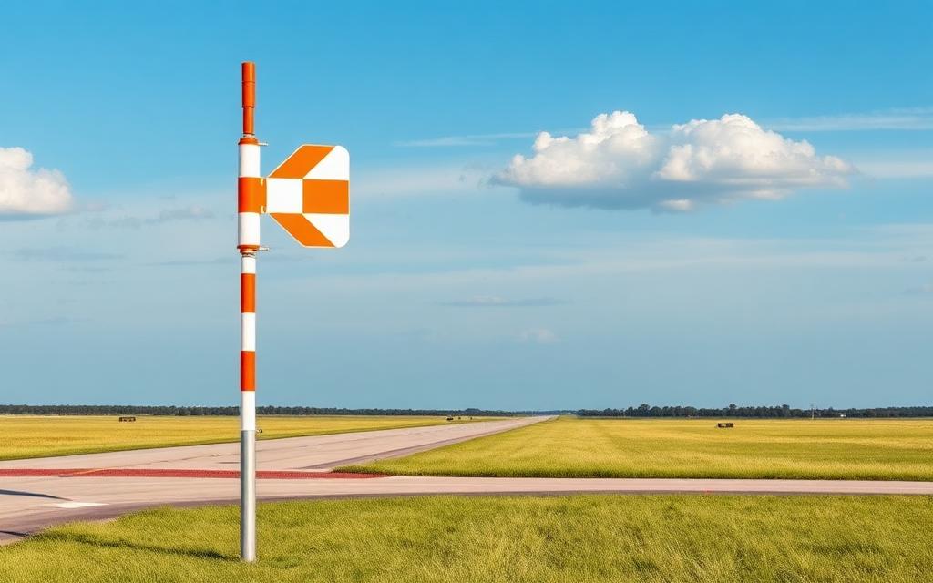
Hamadan Airport
IATA HDMICAO OIHHMedium airport
Hamadan Airport is a medium airport near Hamadan in Hamadan Province, Iran. It is listed as IATA HDM and ICAO OIHH. The airport is located at 34.8664° / 48.5607° at an elevation of 1,754 m (5,755 ft). There is one runway, the longest measuring 3,234 m. The nearest airport is Farshchian Cardiovascular Hospital Heliport, 11 km (7 mi) away. The airport is served by scheduled flights.


Data
| IATA code | HDM |
|---|---|
| ICAO code | OIHH |
| Identifier | OIHH |
| Type | Medium airport |
| City | Hamadan |
| Region | Hamadan Province |
| Country | Iran |
| Coordinates | 34.86642, 48.56069 |
| Coordinates (deg/min/sec) | 34° 51′ 59.10″ N 48° 33′ 38.48″ E |
| Elevation | 1,754 m (5,755 ft) |
| Scheduled service | yes |
Travel gear that fits
Automatically selected recommendations for a trip to Hamadan Airport – based on climate, location and airport type.
 Hamadan travel guide
Sights, neighbourhoods and tips for Hamadan – ideal for your arrival.
View on Amazon Iran travel guide
The overview for your trip: regions, culture, getting around and practical tips for Iran.
View on Amazon Persian phrasebook
The essential phrases in Persian – for taxis, hotels and restaurants.
View on Amazon Sunscreen SPF 50
High UV exposure at the destination – sun protection belongs in your cabin bag.
View on Amazon Polarised sunglasses
Strong glare from sun, sand or snow – polarised lenses help.
View on Amazon Noise-cancelling headphones
Shut out cabin noise and terminal announcements – the classic for frequent flyers.
View on Amazon
Advertising: as an Amazon Associate we earn from qualifying purchases. The price stays the same for you.
Runways
| Runway | Length | Width | Surface | Lighted |
|---|---|---|---|---|
10/28 | 3,234 m | 45 m | Asphalt | yes |
Links
Nearby airports
- IR-0103Farshchian Cardiovascular Hospital Heliport11 km (7 mi)
- NUJNojeh Air Base39 km (24 mi)
- IR-0104Rowan Power Plant Heliport40 km (25 mi)
- IR-0004Shahrokhi Highway Strip41 km (26 mi)
- IR-0225Ga'em Hospital Heliport41 km (26 mi)
- IR-0107Imam Reza Hospital Heliport42 km (26 mi)
- IR-0224Imam Hassan Hospital Heliport47 km (29 mi)
- IR-0018Khomajin Airport61 km (38 mi)
- OIHMMalayer Airport69 km (43 mi)
- IR-0037Sonqor Heliport89 km (55 mi)
- KSHShahid Ashrafi Esfahani Airport141 km (87 mi)
- IR-0102Imam Reza Hospital Heliport142 km (88 mi)