
Iwc Heliport
ICAO IG01Heliport
Iwc Heliport is a heliport near Indianapolis in Indiana, United States. It is listed as ICAO IG01. The airport is located at 39.7837° / -87.1836° at an elevation of 213 m (700 ft). There is one runway, the longest measuring 15 m. The nearest airport is Butler Field, 5.9 km (4 mi) away. No scheduled service is recorded for this airfield.


Data
| ICAO code | IG01 |
|---|---|
| Local code | IG01 |
| Identifier | IG01 |
| Type | Heliport |
| City | Indianapolis |
| Region | Indiana |
| Country | United States |
| Coordinates | 39.78370, -87.18360 |
| Coordinates (deg/min/sec) | 39° 47′ 01.32″ N 87° 11′ 00.96″ W |
| Elevation | 213 m (700 ft) |
| Scheduled service | no |
Travel gear that fits
Automatically selected recommendations for a trip to Iwc Heliport – based on climate, location and airport type.
 Indiana travel guide
Routes, towns and day trips across Indiana.
View on Amazon- United States travel guide
The overview for your trip: regions, culture, getting around and practical tips for United States.
View on Amazon  United States road map
A printed map for planning – works without signal or battery.
View on Amazon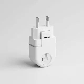 Travel adapter A/B
The destination uses socket types A/B at 120 V – the right adapter keeps everything charged.
View on Amazon Packable rain jacket
Changeable weather at your destination – windproof, water-repellent and packs down small.
View on Amazon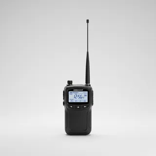 Airband scanner
Listen in on tower and approach frequencies – a classic among aviation fans.
View on Amazon
Advertising: as an Amazon Associate we earn from qualifying purchases. The price stays the same for you.
Runways
| Runway | Length | Width | Surface | Lighted |
|---|---|---|---|---|
H1 | 15 m | 15 m | Turf | no |
Nearby airports
- IN46Butler Field5.9 km (4 mi)
- 9IN6Garrard Airport15 km (9 mi)
- II59Strip Airport19 km (12 mi)
- II68Durham Airport21 km (13 mi)
- 4IN4Wilson Airport21 km (13 mi)
- 2II8West Central Community Hospital Heliport23 km (15 mi)
- 49IIReinoehl Field24 km (15 mi)
- IN454 Winds Aerodrome26 km (16 mi)
- 41IGParker Field26 km (16 mi)
- IN48St. Vincent Clay Hospital Heliport29 km (18 mi)
- 99IICooper Field30 km (19 mi)
- II64Universal Mine Heliport30 km (19 mi)