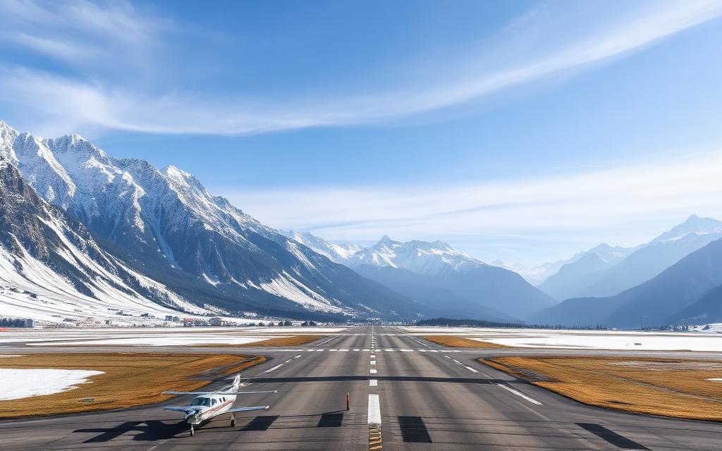
Seto Heliport
Heliport
Seto Heliport is a heliport near Hamamatsu in Shizuoka Prefecture, Japan. The airport is located at 34.7687° / 137.5506° at an elevation of 44 m (145 ft). The nearest airport is Lake Hamana Service Area Heliport, 5.6 km (3 mi) away. No scheduled service is recorded for this airfield.


Data
| Identifier | JP-2003 |
|---|---|
| Type | Heliport |
| City | Hamamatsu |
| Region | Shizuoka Prefecture |
| Country | Japan |
| Coordinates | 34.76867, 137.55057 |
| Coordinates (deg/min/sec) | 34° 46′ 07.23″ N 137° 33′ 02.06″ E |
| Elevation | 44 m (145 ft) |
| Scheduled service | no |
Travel gear that fits
Automatically selected recommendations for a trip to Seto Heliport – based on climate, location and airport type.
 Shizuoka Prefecture travel guide
Routes, towns and day trips across Shizuoka Prefecture.
View on Amazon- Japan travel guide
The overview for your trip: regions, culture, getting around and practical tips for Japan.
View on Amazon  Japanese phrasebook
The essential phrases in Japanese – for taxis, hotels and restaurants.
View on Amazon Packable rain jacket
Changeable weather at your destination – windproof, water-repellent and packs down small.
View on Amazon Waterproof dry bag
Boat, seaplane and island transfers: your electronics stay dry.
View on Amazon Travel adapter A/B
The destination uses socket types A/B at 100 V – the right adapter keeps everything charged.
View on Amazon
Advertising: as an Amazon Associate we earn from qualifying purchases. The price stays the same for you.
Runways
No runways are recorded for this airfield.
Nearby airports
- JP-1678Lake Hamana Service Area Heliport5.6 km (3 mi)
- JP-0681Seirei Mikatahara General Hospital Helipad13 km (8 mi)
- RJNHJASDF Hamamatsu Air Base14 km (9 mi)
- JP-2713Toyohashi City Hall Heliport14 km (9 mi)
- JP-2743Toyokawa Interchange Heliport15 km (9 mi)
- JP-0683Hamamatsu Medical Center Helipad15 km (9 mi)
- JP-3308Kalmia Toyohashi Helipad15 km (10 mi)
- JP-2236Kawaji Helipad16 km (10 mi)
- JP-0293Seirei Hamamatsu General Hospital Helipad17 km (10 mi)
- JP-1571Nagashino-Shitaragahara Inbound Parking Area Heliport18 km (11 mi)
- JP-1570Nagashino-Shitaragahara Outbound Parking Area Heliport18 km (11 mi)
- JP-0292JA Shizuoka Koseiren Enshu Hospital Helipad18 km (11 mi)