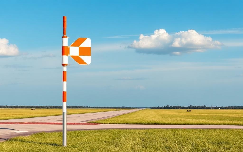
Jorhat Airport
IATA JRHICAO VEJTMedium airport
Jorhat Airport is a medium airport near Jorhat in Assam, India. It is listed as IATA JRH and ICAO VEJT. The airport is located at 26.7305° / 94.1754° at an elevation of 95 m (311 ft). There is one runway, the longest measuring 2,743 m. The nearest airport is Sivasagar Heliport, 49 km (30 mi) away. The airport is served by scheduled flights.


Data
| IATA code | JRH |
|---|---|
| ICAO code | VEJT |
| Identifier | VEJT |
| Type | Medium airport |
| City | Jorhat |
| Region | Assam |
| Country | India |
| Coordinates | 26.73046, 94.17542 |
| Coordinates (deg/min/sec) | 26° 43′ 49.64″ N 94° 10′ 31.50″ E |
| Elevation | 95 m (311 ft) |
| Scheduled service | yes |
Travel gear that fits
Automatically selected recommendations for a trip to Jorhat Airport – based on climate, location and airport type.
 Jorhat travel guide
Sights, neighbourhoods and tips for Jorhat – ideal for your arrival.
View on Amazon India travel guide
The overview for your trip: regions, culture, getting around and practical tips for India.
View on Amazon Hindi phrasebook
The essential phrases in Hindi – for taxis, hotels and restaurants.
View on Amazon Travel adapter D/M
The destination uses socket types D/M at 230 V – the right adapter keeps everything charged.
View on Amazon Carry-on trolley
Hard-shell case in standard cabin size – fits the overhead bins of most scheduled flights.
View on Amazon Spotting binoculars
Identify registrations and types from the fence – bright and handy.
View on Amazon
Advertising: as an Amazon Associate we earn from qualifying purchases. The price stays the same for you.
Runways
| Runway | Length | Width | Surface | Lighted |
|---|---|---|---|---|
04/22 | 2,743 m | 46 m | Concrete | yes |
Links
Nearby airports
- IN-0361Sivasagar Heliport49 km (30 mi)
- HGIItanagar Donyi Polo Hollongi Airport59 km (37 mi)
- IXILilabari North Lakhimpur Airport63 km (39 mi)
- IN-0075Itanagar (Naharlagun) Heliport64 km (40 mi)
- IN-0076[Duplicate] Itanagar (Naharlagun) Heliport64 km (40 mi)
- ZERZiro Airport101 km (63 mi)
- DMUDimapur Airport102 km (64 mi)
- DIBDibrugarh Airport118 km (73 mi)
- IN-0049Kohima Helipad119 km (74 mi)
- VECAChabua Air Force Station124 km (77 mi)
- IN-0352Duliajan Oil Heliport134 km (83 mi)
- IN-0353Deomali Heliport138 km (86 mi)