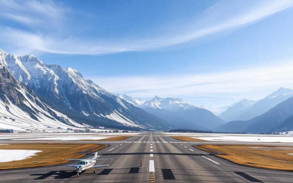
Inca Manco Capac International Airport
IATA JULICAO SPJLLarge airport
Inca Manco Capac International Airport is a large airport near Juliaca in Puno Region, Peru. It is listed as IATA JUL and ICAO SPJL. The airport is located at -15.4677° / -70.1565° at an elevation of 3,826 m (12,552 ft). There is one runway, the longest measuring 4,200 m. The nearest airport is Ventilla Airport, 44 km (27 mi) away. The airport is served by scheduled flights.


Data
| IATA code | JUL |
|---|---|
| ICAO code | SPJL |
| Identifier | SPJL |
| Type | Large airport |
| City | Juliaca |
| Region | Puno Region |
| Country | Peru |
| Coordinates | -15.46769, -70.15653 |
| Coordinates (deg/min/sec) | 15° 28′ 03.68″ S 70° 09′ 23.51″ W |
| Elevation | 3,826 m (12,552 ft) |
| Scheduled service | yes |
Travel gear that fits
Automatically selected recommendations for a trip to Inca Manco Capac International Airport – based on climate, location and airport type.
 Juliaca travel guide
Sights, neighbourhoods and tips for Juliaca – ideal for your arrival.
View on Amazon Peru travel guide
The overview for your trip: regions, culture, getting around and practical tips for Peru.
View on Amazon Spanish phrasebook
The essential phrases in Spanish – for taxis, hotels and restaurants.
View on Amazon Travel adapter A/C
The destination uses socket types A/C at 220 V – the right adapter keeps everything charged.
View on Amazon Carry-on trolley
Hard-shell case in standard cabin size – fits the overhead bins of most scheduled flights.
View on Amazon Neck pillow
Supports your head on long-haul flights and during long waits at the gate.
View on Amazon
Advertising: as an Amazon Associate we earn from qualifying purchases. The price stays the same for you.
Runways
| Runway | Length | Width | Surface | Lighted |
|---|---|---|---|---|
12/30 | 4,200 m | 46 m | Asphalt | yes |
Links
Nearby airports
- SPNPVentilla Airport44 km (27 mi)
- SLUUUlla Ulla Airport109 km (67 mi)
- SPRFSan Rafael Airport134 km (83 mi)
- SLCCCopacabana Airport139 km (86 mi)
- SPIYYauri Airport156 km (97 mi)
- PE-0032Chivay Airport157 km (98 mi)
- AQPRodríguez Ballón International Airport180 km (112 mi)
- SPDSCuajone Botiflaca Airport190 km (118 mi)
- APBApolo Airport204 km (127 mi)
- SPEQCesar Torke Podesta Airport207 km (129 mi)
- SPVRVitor Airport209 km (130 mi)
- SPTQToquepala Airport210 km (131 mi)