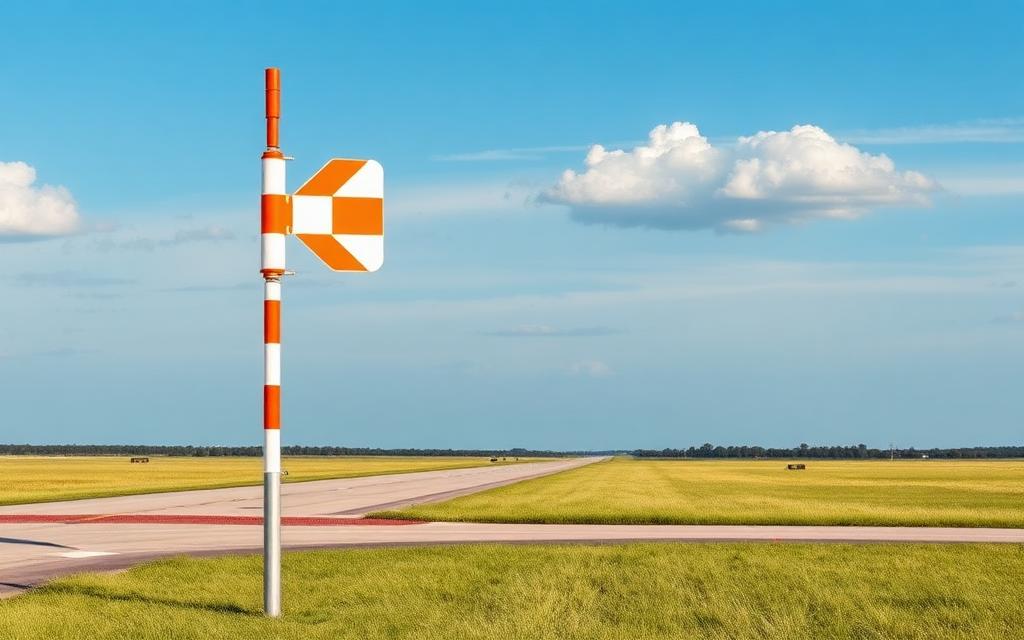
Berrien County Airport
ICAO K4J2Small airfield
Berrien County Airport is a small airfield near Nashville in Georgia, United States. It is listed as ICAO K4J2. The airport is located at 31.2126° / -83.2263° at an elevation of 73 m (240 ft). There is one runway, the longest measuring 1,525 m. The nearest airport is South One Ten Airport, 3.8 km (2 mi) away. No scheduled service is recorded for this airfield.


Data
| ICAO code | K4J2 |
|---|---|
| Local code | 4J2 |
| Identifier | K4J2 |
| Type | Small airfield |
| City | Nashville |
| Region | Georgia |
| Country | United States |
| Coordinates | 31.21260, -83.22630 |
| Coordinates (deg/min/sec) | 31° 12′ 45.36″ N 83° 13′ 34.69″ W |
| Elevation | 73 m (240 ft) |
| Scheduled service | no |
Travel gear that fits
Automatically selected recommendations for a trip to Berrien County Airport – based on climate, location and airport type.
 Georgia travel guide
Routes, towns and day trips across Georgia.
View on Amazon- United States travel guide
The overview for your trip: regions, culture, getting around and practical tips for United States.
View on Amazon  United States road map
A printed map for planning – works without signal or battery.
View on Amazon Travel adapter A/B
The destination uses socket types A/B at 120 V – the right adapter keeps everything charged.
View on Amazon Sunscreen SPF 50
High UV exposure at the destination – sun protection belongs in your cabin bag.
View on Amazon Spotting binoculars
Identify registrations and types from the fence – bright and handy.
View on Amazon
Advertising: as an Amazon Associate we earn from qualifying purchases. The price stays the same for you.
Runways
| Runway | Length | Width | Surface | Lighted |
|---|---|---|---|---|
10/28 | 1,525 m | 23 m | Asphalt | yes |
Nearby airports
- 1GA8South One Ten Airport3.8 km (2 mi)
- US-7827Ag Aviators Airport10 km (6 mi)
- K15JCook County Airport23 km (14 mi)
- VADMoody Air Force Base27 km (17 mi)
- 50GAMallory Field29 km (18 mi)
- US-6769Bemiss Auxiliary Army Airfield30 km (19 mi)
- GE01Christians Folly Airport34 km (21 mi)
- US-4369Air Evac Base 142 Heliport35 km (21 mi)
- TMAHenry Tift Myers Airport35 km (22 mi)
- 1GA5Shilo Farms Airport35 km (22 mi)
- GE14Elite Helicopters Heliport35 km (22 mi)
- 07GEPope Pate Field38 km (24 mi)