
Sycamore Strip
ICAO K9F9Small airfield
Sycamore Strip is a small airfield near Fort Worth in Texas, United States. It is listed as ICAO K9F9. The airport is located at 32.6285° / -97.3536° at an elevation of 232 m (760 ft). There is one runway, the longest measuring 1,029 m. The nearest airport is Luck Field, 4.4 km (3 mi) away. No scheduled service is recorded for this airfield.


Data
| ICAO code | K9F9 |
|---|---|
| Local code | 9F9 |
| Identifier | K9F9 |
| Type | Small airfield |
| City | Fort Worth |
| Region | Texas |
| Country | United States |
| Coordinates | 32.62850, -97.35360 |
| Coordinates (deg/min/sec) | 32° 37′ 42.61″ N 97° 21′ 12.96″ W |
| Elevation | 232 m (760 ft) |
| Scheduled service | no |
Travel gear that fits
Automatically selected recommendations for a trip to Sycamore Strip – based on climate, location and airport type.
 Texas travel guide
Routes, towns and day trips across Texas.
View on Amazon- United States travel guide
The overview for your trip: regions, culture, getting around and practical tips for United States.
View on Amazon  Texas map
Detailed map for tours and trips in Texas.
View on Amazon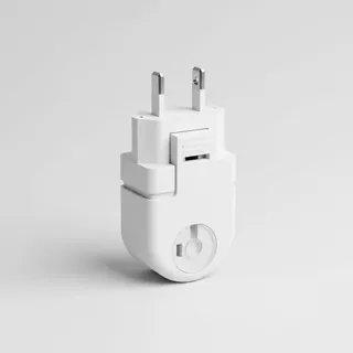 Travel adapter A/B
The destination uses socket types A/B at 120 V – the right adapter keeps everything charged.
View on Amazon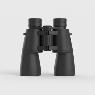 Spotting binoculars
Identify registrations and types from the fence – bright and handy.
View on Amazon Polarised sunglasses
Strong glare from sun, sand or snow – polarised lenses help.
View on Amazon
Advertising: as an Amazon Associate we earn from qualifying purchases. The price stays the same for you.
Runways
| Runway | Length | Width | Surface | Lighted |
|---|---|---|---|---|
17/35 | 1,029 m | 9 m | Asphalt | yes |
Links
Nearby airports
- 56XATexas Health Huguley Hospital Heliport5.6 km (3 mi)
- US-3179Texas Health Huguley Hospital Fort Worth South Helipad5.9 km (4 mi)
- 51TAHarris Methodist Southwest Helistop7.1 km (4 mi)
- 9F5Tcjc-South Campus Heliport7.4 km (5 mi)
- KFWSFort Worth Spinks Airport8.2 km (5 mi)
- 07XSAllen Ponderosa Heliport10 km (6 mi)
- 00TSAlpine Range Airport11 km (7 mi)
- 93TXJohn Peter Smith EMS Building Heliport11 km (7 mi)
- 1XS3John Peter Smith Health Network Heliport11 km (7 mi)
- XA18Baylor All Saints Medical Center Heliport11 km (7 mi)
- US-3193Texas Health Harris Methodist Hospital Helipad12 km (7 mi)
- XA37Plaza Medical Center Heliport12 km (7 mi)