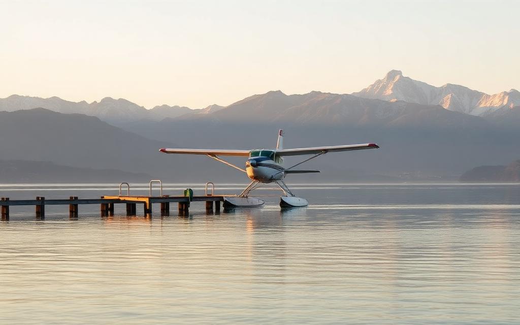
Sun Valley Airport
ICAO KA20Small airfield
Sun Valley Airport is a small airfield near Bullhead City in Arizona, United States. It is listed as ICAO KA20. The airport is located at 35.0059° / -114.5651° at an elevation of 221 m (725 ft). There is one runway, the longest measuring 1,128 m. The nearest airport is Valley View Medical Center Heliport, 2.9 km (2 mi) away. No scheduled service is recorded for this airfield.


Data
| ICAO code | KA20 |
|---|---|
| Local code | A20 |
| Identifier | KA20 |
| Type | Small airfield |
| City | Bullhead City |
| Region | Arizona |
| Country | United States |
| Coordinates | 35.00594, -114.56508 |
| Coordinates (deg/min/sec) | 35° 00′ 21.40″ N 114° 33′ 54.27″ W |
| Elevation | 221 m (725 ft) |
| Scheduled service | no |
Travel gear that fits
Automatically selected recommendations for a trip to Sun Valley Airport – based on climate, location and airport type.
 Arizona travel guide
Routes, towns and day trips across Arizona.
View on Amazon- United States travel guide
The overview for your trip: regions, culture, getting around and practical tips for United States.
View on Amazon  Arizona map
Detailed map for tours and trips in Arizona.
View on Amazon Travel adapter A/B
The destination uses socket types A/B at 120 V – the right adapter keeps everything charged.
View on Amazon Spotting binoculars
Identify registrations and types from the fence – bright and handy.
View on Amazon Sunscreen SPF 50
High UV exposure at the destination – sun protection belongs in your cabin bag.
View on Amazon
Advertising: as an Amazon Associate we earn from qualifying purchases. The price stays the same for you.
Runways
| Runway | Length | Width | Surface | Lighted |
|---|---|---|---|---|
18/36 | 1,128 m | 13 m | Asphalt | yes |
Links
Nearby airports
- US-7607Valley View Medical Center Heliport2.9 km (2 mi)
- US-7606Tri State CareFlight 6 Base Heliport3.0 km (2 mi)
- US-1482Willow Valley Airport10 km (6 mi)
- 22AZWestern Arizona Regional Medical Center Heliport12 km (7 mi)
- KA09Eagle Airpark14 km (9 mi)
- US-3125Fort Mojave Airstrip15 km (9 mi)
- US-2659Green Quartz Mine Airstrip16 km (10 mi)
- US-2660White Chief Mine Airstrip16 km (10 mi)
- NV75SCE Mohave Generating Station Heliport16 km (10 mi)
- IFPLaughlin Bullhead International Airport17 km (10 mi)
- US-3124Colorado River Medical Center Helipad20 km (12 mi)
- EEDNeedles Airport27 km (17 mi)