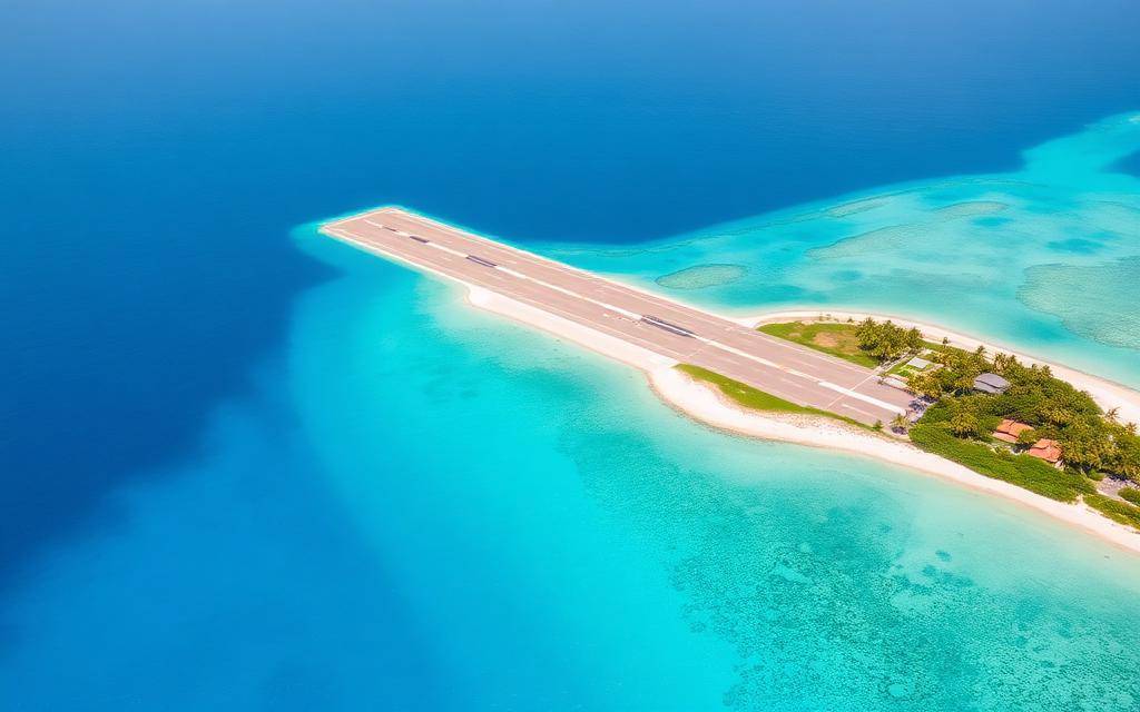
Kambalda Airport
IATA KDBICAO YKBLSmall airfield
Kambalda Airport is a small airfield near Kambalda West in Western Australia, Australia. It is listed as IATA KDB and ICAO YKBL. The airport is located at -31.1907° / 121.5978° at an elevation of 327 m (1,073 ft). There is one runway, the longest measuring 1,090 m. The nearest airport is Kalgoorlie Boulder Airport, 46 km (29 mi) away. No scheduled service is recorded for this airfield.


Data
| IATA code | KDB |
|---|---|
| ICAO code | YKBL |
| Identifier | YKBL |
| Type | Small airfield |
| City | Kambalda West |
| Region | Western Australia |
| Country | Australia |
| Coordinates | -31.19070, 121.59780 |
| Coordinates (deg/min/sec) | 31° 11′ 26.52″ S 121° 35′ 52.08″ E |
| Elevation | 327 m (1,073 ft) |
| Scheduled service | no |
Travel gear that fits
Automatically selected recommendations for a trip to Kambalda Airport – based on climate, location and airport type.
 Western Australia travel guide
Routes, towns and day trips across Western Australia.
View on Amazon- Australia travel guide
The overview for your trip: regions, culture, getting around and practical tips for Australia.
View on Amazon  Australia road map
A printed map for planning – works without signal or battery.
View on Amazon Travel adapter I
The destination uses socket types I at 230 V – the right adapter keeps everything charged.
View on Amazon Sunscreen SPF 50
High UV exposure at the destination – sun protection belongs in your cabin bag.
View on Amazon Spotting binoculars
Identify registrations and types from the fence – bright and handy.
View on Amazon
Advertising: as an Amazon Associate we earn from qualifying purchases. The price stays the same for you.
Runways
| Runway | Length | Width | Surface | Lighted |
|---|---|---|---|---|
16/34 | 1,090 m | – | X | no |
Links
Nearby airports
- KGIKalgoorlie Boulder Airport46 km (29 mi)
- YCLGCoolgardie Airport50 km (31 mi)
- AU-0495Bulong Airport51 km (31 mi)
- AU-0743Bullabulling Airfield55 km (34 mi)
- NSMNorseman Aerodrome114 km (71 mi)
- AU-0494Rough Gap Airport126 km (78 mi)
- YEJIEast Jaurdi Airport131 km (82 mi)
- WCDCarosue Dam Airport133 km (82 mi)
- YCNNCoonana Airport151 km (94 mi)
- YCAICallion Airport154 km (96 mi)
- YNOVNova Airport168 km (104 mi)
- YPOPPorphyry Airport170 km (106 mi)