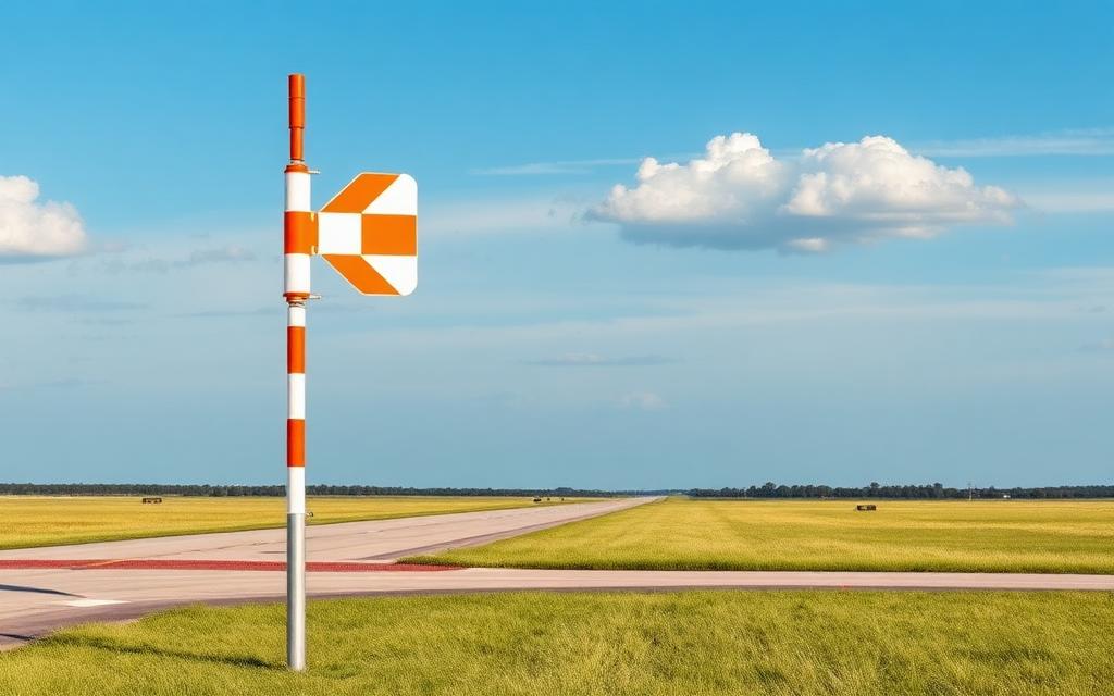
Rukinga Ranch Airstrip
Small airfield
Rukinga Ranch Airstrip is a small airfield near Maungu in Taita-Taveta County, Kenya. The airport is located at -3.5756° / 38.7602° at an elevation of 539 m (1,767 ft). The nearest airport is Batchuma Gate Airport, 23 km (14 mi) away. No scheduled service is recorded for this airfield.


Data
| Identifier | KE-0186 |
|---|---|
| Type | Small airfield |
| City | Maungu |
| Region | Taita-Taveta County |
| Country | Kenya |
| Coordinates | -3.57557, 38.76017 |
| Coordinates (deg/min/sec) | 3° 34′ 32.04″ S 38° 45′ 36.59″ E |
| Elevation | 539 m (1,767 ft) |
| Scheduled service | no |
Travel gear that fits
Automatically selected recommendations for a trip to Rukinga Ranch Airstrip – based on climate, location and airport type.
 Taita-Taveta County travel guide
Routes, towns and day trips across Taita-Taveta County.
View on Amazon- Kenya travel guide
The overview for your trip: regions, culture, getting around and practical tips for Kenya.
View on Amazon  Swahili phrasebook
The essential phrases in Swahili – for taxis, hotels and restaurants.
View on Amazon Travel adapter G
The destination uses socket types G at 230 V – the right adapter keeps everything charged.
View on Amazon Insect repellent
Important in tropical regions – protection against bites and transmitted diseases.
View on Amazon Waterproof dry bag
Boat, seaplane and island transfers: your electronics stay dry.
View on Amazon
Advertising: as an Amazon Associate we earn from qualifying purchases. The price stays the same for you.
Runways
No runways are recorded for this airfield.
Nearby airports
- KE-0092Batchuma Gate Airport23 km (14 mi)
- KE-6957Aruba Airport27 km (17 mi)
- KE-0062Satao Airport29 km (18 mi)
- KE-6175Voi Park Airport29 km (18 mi)
- HKVOVoi Airport34 km (21 mi)
- KE-7002Mackinnon Road Airport35 km (22 mi)
- KE-0172Mwatate Airport36 km (22 mi)
- KE-0129Kasigau Gate Airport41 km (25 mi)
- KE-6053Taita Hills Airport57 km (36 mi)
- KE-0158Lugard Falls South Airport59 km (37 mi)
- KE-7013Black Rhino Airstrip60 km (37 mi)
- KE-0160Manyani Airport62 km (39 mi)