
Khrabrovo Airport
IATA KGDICAO UMKKLarge airport
Khrabrovo Airport is a large airport near Kaliningrad in Kaliningrad Oblast, Russia. It is listed as IATA KGD and ICAO UMKK. The airport is located at 54.8916° / 20.5986° at an elevation of 13 m (42 ft). There is one runway, the longest measuring 3,350 m. The nearest airport is Kaliningrad Devau Airport, 19 km (12 mi) away. The airport is served by scheduled flights.


Data
| IATA code | KGD |
|---|---|
| ICAO code | UMKK |
| Identifier | UMKK |
| Type | Large airport |
| City | Kaliningrad |
| Region | Kaliningrad Oblast |
| Country | Russia |
| Coordinates | 54.89161, 20.59856 |
| Coordinates (deg/min/sec) | 54° 53′ 29.80″ N 20° 35′ 54.81″ E |
| Elevation | 13 m (42 ft) |
| Scheduled service | yes |
Travel gear that fits
Automatically selected recommendations for a trip to Khrabrovo Airport – based on climate, location and airport type.
 Kaliningrad travel guide
Sights, neighbourhoods and tips for Kaliningrad – ideal for your arrival.
View on Amazon Russia travel guide
The overview for your trip: regions, culture, getting around and practical tips for Russia.
View on Amazon Russian phrasebook
The essential phrases in Russian – for taxis, hotels and restaurants.
View on Amazon Noise-cancelling headphones
Shut out cabin noise and terminal announcements – the classic for frequent flyers.
View on Amazon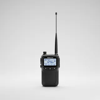 Airband scanner
Listen in on tower and approach frequencies – a classic among aviation fans.
View on Amazon Gloves and beanie
For destinations with harsh winters – warm yet light in your bag.
View on Amazon
Advertising: as an Amazon Associate we earn from qualifying purchases. The price stays the same for you.
Runways
| Runway | Length | Width | Surface | Lighted |
|---|---|---|---|---|
06/24 | 3,350 m | 45 m | Concrete | yes |
Links
Nearby airports
- RU-0037Kaliningrad Devau Airport19 km (12 mi)
- RU-0523Podgornoye Airfield19 km (12 mi)
- RU-0028Kaliningrad Chkalovsk Naval Air Base19 km (12 mi)
- RU-0473Schloss Waldau Airstrip24 km (15 mi)
- RU-0454Borskoye Airfield37 km (23 mi)
- RU-0061Donskoye Air Base40 km (25 mi)
- UMKSStrelnya Airfield42 km (26 mi)
- UMKEMedovoye Airfield42 km (26 mi)
- EYNDNida Airfield56 km (35 mi)
- EYSIŠilute Airfield77 km (48 mi)
- RU-0060Chernyakhovsk Naval Air Base83 km (51 mi)
- PL-0151Lotnisko Orneta91 km (57 mi)