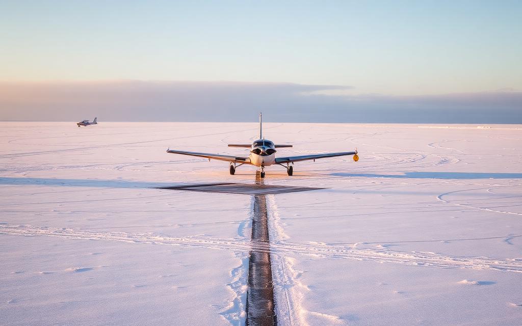
Lesce Airfield
ICAO LJBLSmall airfield
Lesce Airfield is a small airfield near Lesce in Radovljica Municipality, Slovenia. It is listed as ICAO LJBL. The airport is located at 46.3572° / 14.1739° at an elevation of 504 m (1,654 ft). There is one runway, the longest measuring 1,130 m. The nearest airport is Glock Heliport, 21 km (13 mi) away. No scheduled service is recorded for this airfield.


Data
| ICAO code | LJBL |
|---|---|
| Identifier | LJBL |
| Type | Small airfield |
| City | Lesce |
| Region | Radovljica Municipality |
| Country | Slovenia |
| Coordinates | 46.35720, 14.17390 |
| Coordinates (deg/min/sec) | 46° 21′ 25.92″ N 14° 10′ 26.04″ E |
| Elevation | 504 m (1,654 ft) |
| Scheduled service | no |
Travel gear that fits
Automatically selected recommendations for a trip to Lesce Airfield – based on climate, location and airport type.
 Radovljica Municipality travel guide
Routes, towns and day trips across Radovljica Municipality.
View on Amazon- Slovenia travel guide
The overview for your trip: regions, culture, getting around and practical tips for Slovenia.
View on Amazon  Croatian phrasebook
The essential phrases in Croatian – for taxis, hotels and restaurants.
View on Amazon Travel adapter C/F
The destination uses socket types C/F at 230 V – the right adapter keeps everything charged.
View on Amazon Packable rain jacket
Changeable weather at your destination – windproof, water-repellent and packs down small.
View on Amazon Spotting binoculars
Identify registrations and types from the fence – bright and handy.
View on Amazon
Advertising: as an Amazon Associate we earn from qualifying purchases. The price stays the same for you.
Runways
| Runway | Length | Width | Surface | Lighted |
|---|---|---|---|---|
14/32 | 1,130 m | 23 m | Asphalt | no |
14L/32R closed | 600 m | 30 m | Grass | no |
Links
Nearby airports
- AT-0079Glock Heliport21 km (13 mi)
- LOKGFerlach-Glainach Airfield23 km (14 mi)
- LJULjubljana Jože Pučnik Airport26 km (16 mi)
- AT-0045Carinthia University Hospital Rooftop Helipad 230 km (19 mi)
- AT-0027Klagenfurt Fire Department Heliport31 km (19 mi)
- AT-0026Carinthian State Fire Brigade Association Heliport32 km (20 mi)
- AT-0039Föderlach Heliport32 km (20 mi)
- LOKAKlagenfurt Clinic Heliport32 km (20 mi)
- AT-0041Hallegg Castle HLS33 km (20 mi)
- KLUKlagenfurt Airport34 km (21 mi)
- LOMUÖAMTC / Klagenfurt Heliport34 km (21 mi)
- SI-0010Kamnik - Dulnica Airfield36 km (22 mi)