
Évora Airfield
ICAO LPEVMedium airport
Évora Airfield is a medium airport near Évora in Évora District, Portugal. It is listed as ICAO LPEV. The airport is located at 38.5335° / -7.8896° at an elevation of 246 m (807 ft). There is one runway, the longest measuring 1,300 m. The nearest airport is Évora Hospital Helipad, 4.0 km (2 mi) away. No scheduled service is recorded for this airfield.


Data
| ICAO code | LPEV |
|---|---|
| Identifier | LPEV |
| Type | Medium airport |
| City | Évora |
| Region | Évora District |
| Country | Portugal |
| Coordinates | 38.53350, -7.88964 |
| Coordinates (deg/min/sec) | 38° 32′ 00.60″ N 7° 53′ 22.70″ W |
| Elevation | 246 m (807 ft) |
| Scheduled service | no |
Travel gear that fits
Automatically selected recommendations for a trip to Évora Airfield – based on climate, location and airport type.
 Évora travel guide
Sights, neighbourhoods and tips for Évora – ideal for your arrival.
View on Amazon Portugal travel guide
The overview for your trip: regions, culture, getting around and practical tips for Portugal.
View on Amazon Portuguese phrasebook
The essential phrases in Portuguese – for taxis, hotels and restaurants.
View on Amazon Travel adapter C/F
The destination uses socket types C/F at 230 V – the right adapter keeps everything charged.
View on Amazon Carry-on trolley
Hard-shell case in standard cabin size – fits the overhead bins of most scheduled flights.
View on Amazon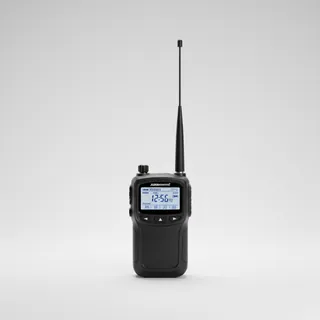 Airband scanner
Listen in on tower and approach frequencies – a classic among aviation fans.
View on Amazon
Advertising: as an Amazon Associate we earn from qualifying purchases. The price stays the same for you.
Runways
| Runway | Length | Width | Surface | Lighted |
|---|---|---|---|---|
01/19 | 1,300 m | 23 m | Asphalt | no |
08/26 closed | 640 m | 30 m | Gravel | no |
Links
Nearby airports
- LPERÉvora Hospital Helipad4.0 km (2 mi)
- PT-0096Nossa Senhora de Machede Airstrip9.5 km (6 mi)
- PT-0093Cerieira Airfield19 km (12 mi)
- PT-0027Arraiolos Ultralight Airfield22 km (13 mi)
- PT-0092Herdade da Lentisca Airstrip22 km (14 mi)
- PT-0095Herdade do Esporão34 km (21 mi)
- PT-0032Amendoeira Aerodrome39 km (24 mi)
- PT-0109Ciborro Airstrip40 km (25 mi)
- PT-0156Estremoz Municipal Heliport40 km (25 mi)
- PT-0094Campinho Airfield UL42 km (26 mi)
- PT-0147Cano50 km (31 mi)
- BYJBeja Airport / Airbase51 km (31 mi)