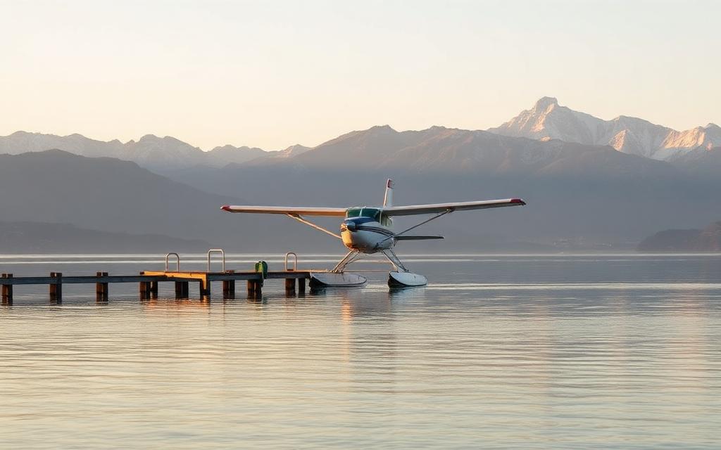
Linköping City Airport
IATA LPIICAO ESSLLarge airport
Linköping City Airport is a large airport near Linköping in Östergötlands län, Sweden. It is listed as IATA LPI and ICAO ESSL. The airport is located at 58.4049° / 15.6845° at an elevation of 52 m (172 ft). There is one runway, the longest measuring 2,135 m. The nearest airport is US Linköping Hospital Helipad, 3.8 km (2 mi) away. The airport is served by scheduled flights.


Data
| IATA code | LPI |
|---|---|
| ICAO code | ESSL |
| Identifier | ESSL |
| Type | Large airport |
| City | Linköping |
| Region | Östergötlands län |
| Country | Sweden |
| Coordinates | 58.40491, 15.68450 |
| Coordinates (deg/min/sec) | 58° 24′ 17.67″ N 15° 41′ 04.20″ E |
| Elevation | 52 m (172 ft) |
| Scheduled service | yes |
Travel gear that fits
Automatically selected recommendations for a trip to Linköping City Airport – based on climate, location and airport type.
 Linköping travel guide
Sights, neighbourhoods and tips for Linköping – ideal for your arrival.
View on Amazon Sweden travel guide
The overview for your trip: regions, culture, getting around and practical tips for Sweden.
View on Amazon Swedish phrasebook
The essential phrases in Swedish – for taxis, hotels and restaurants.
View on Amazon Travel adapter C/F
The destination uses socket types C/F at 230 V – the right adapter keeps everything charged.
View on Amazon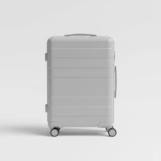 Carry-on trolley
Hard-shell case in standard cabin size – fits the overhead bins of most scheduled flights.
View on Amazon Thermal base layer
Cold destination: merino keeps you warm even when damp.
View on Amazon
Advertising: as an Amazon Associate we earn from qualifying purchases. The price stays the same for you.
Runways
| Runway | Length | Width | Surface | Lighted |
|---|---|---|---|---|
11/29 | 2,135 m | 45 m | Asphalt | yes |
Links
Nearby airports
- ESELUS Linköping Hospital Helipad3.8 km (2 mi)
- ESCFMalmen Air Base9.5 km (6 mi)
- SE-0066Motala flygklubb35 km (22 mi)
- SE-0026Finspångs flygfält37 km (23 mi)
- NRKNorrköping Airport39 km (24 mi)
- SE-0002Stegeborg54 km (33 mi)
- SE-0055Hornlanda61 km (38 mi)
- ESIAKarlsborg Air Base70 km (43 mi)
- SE-0027Flygebyns hoppövningsfält75 km (46 mi)
- ESVKKatrineholm Airfield75 km (47 mi)
- ESSIVisingsö Airfield82 km (51 mi)
- NYOStockholm Skavsta Airport83 km (52 mi)