

Data
| Local code | HUF |
|---|---|
| Identifier | MX-1750 |
| Type | Heliport |
| City | Tlalpan |
| Region | Ciudad de México |
| Country | Mexico |
| Coordinates | 19.30589, -99.21063 |
| Coordinates (deg/min/sec) | 19° 18′ 21.21″ N 99° 12′ 38.27″ W |
| Elevation | 2,419 m (7,936 ft) |
| Scheduled service | no |
Travel gear that fits
Automatically selected recommendations for a trip to Helipuerto Unefón – based on climate, location and airport type.
 Ciudad de México travel guide
Routes, towns and day trips across Ciudad de México.
View on Amazon- Mexico travel guide
The overview for your trip: regions, culture, getting around and practical tips for Mexico.
View on Amazon  Spanish phrasebook
The essential phrases in Spanish – for taxis, hotels and restaurants.
View on Amazon Polarised sunglasses
Strong glare from sun, sand or snow – polarised lenses help.
View on Amazon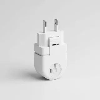 Travel adapter A/B
The destination uses socket types A/B at 120 V – the right adapter keeps everything charged.
View on Amazon Filter water bottle
Where tap water is risky: a bottle with a built-in filter.
View on Amazon
Advertising: as an Amazon Associate we earn from qualifying purchases. The price stays the same for you.
Runways
No runways are recorded for this airfield.
Nearby airports
- MX-0466Helipuerto TV Azteca0.1 km (0 mi)
- MX-0719Helipuerto El Financiero1.0 km (1 mi)
- MX-0707Helipuerto Fuente Bella1.1 km (1 mi)
- MX-0930Helipuerto Villa Angeles I1.1 km (1 mi)
- MX-1326Helipuerto Agua1.2 km (1 mi)
- MX-0810Helipuerto Hospital Angeles -Pedregal1.2 km (1 mi)
- MX-1007Helipuerto Torre Medica Ángeles1.3 km (1 mi)
- MX-0785Helipuerto del Instituto Tecnológico Autónomo de México (ITAM) -Santa Teresa1.5 km (1 mi)
- MX-0411Helipuerto Comisión Nacional de Seguridad1.5 km (1 mi)
- MX-0463Helipuerto Farallón2.0 km (1 mi)
- MX-1015Helipuerto Puebla Inversionista2.7 km (2 mi)
- MX-0464Helipuerto Elektra N°12.8 km (2 mi)