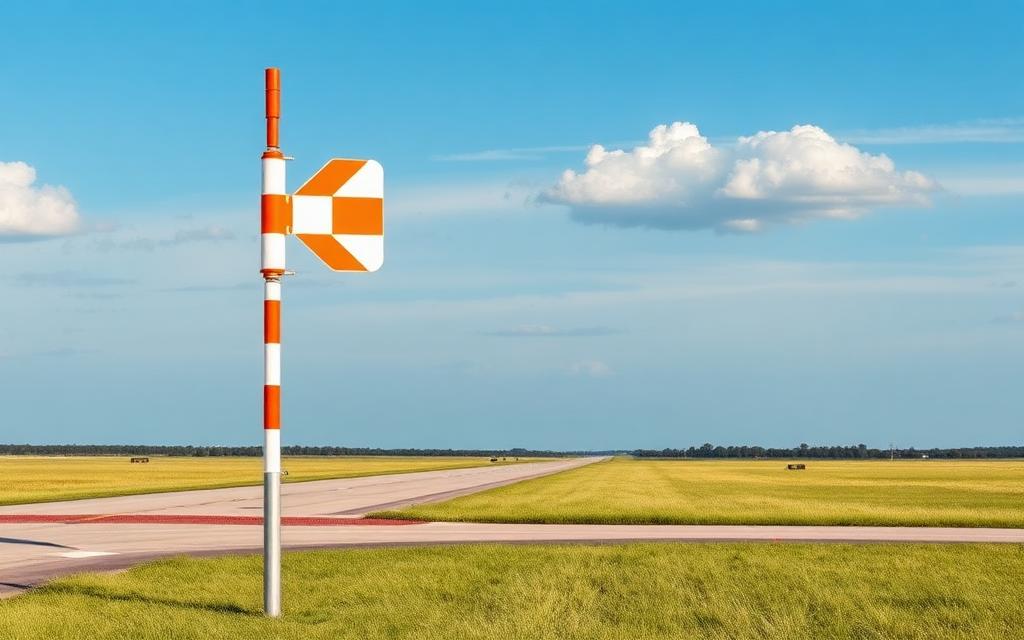


Data
| Identifier | MX-1882 |
|---|---|
| Type | Closed airfield |
| City | Playa Vicente |
| Region | Veracruz |
| Country | Mexico |
| Coordinates | 17.78794, -95.86314 |
| Coordinates (deg/min/sec) | 17° 47′ 16.59″ N 95° 51′ 47.29″ W |
| Elevation | 55 m (180 ft) |
| Scheduled service | no |
Travel gear that fits
Automatically selected recommendations for a trip to Xpujil Airstrip – based on climate, location and airport type.
 Veracruz travel guide
Routes, towns and day trips across Veracruz.
View on Amazon- Mexico travel guide
The overview for your trip: regions, culture, getting around and practical tips for Mexico.
View on Amazon  Spanish phrasebook
The essential phrases in Spanish – for taxis, hotels and restaurants.
View on Amazon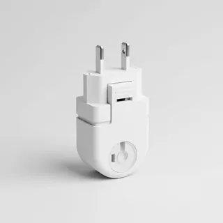 Travel adapter A/B
The destination uses socket types A/B at 120 V – the right adapter keeps everything charged.
View on Amazon Insect repellent
Important in tropical regions – protection against bites and transmitted diseases.
View on Amazon Spotting binoculars
Identify registrations and types from the fence – bright and handy.
View on Amazon
Advertising: as an Amazon Associate we earn from qualifying purchases. The price stays the same for you.
Runways
No runways are recorded for this airfield.
Nearby airports
- MX-0413Air Station No. 8 Loma Bonita26 km (16 mi)
- MX-0892Helipuerto "El Encinal"41 km (26 mi)
- MX-1086Aeródromo Toro Bravo46 km (28 mi)
- MX-0592General Miguel Alemán Airport53 km (33 mi)
- MX-0883El Zopilote Airport53 km (33 mi)
- MX-1132Tres Encinos Airport55 km (34 mi)
- MX-1388La Esmeralda Airstrip59 km (37 mi)
- MX-1196Pista Macuiles65 km (41 mi)
- MX-1107El Amate Airport66 km (41 mi)
- MX-0742Las Macayas Airport66 km (41 mi)
- MX-1331San Jose Independencia Airstrip70 km (44 mi)
- MX-1084Jalisquillo Airport71 km (44 mi)