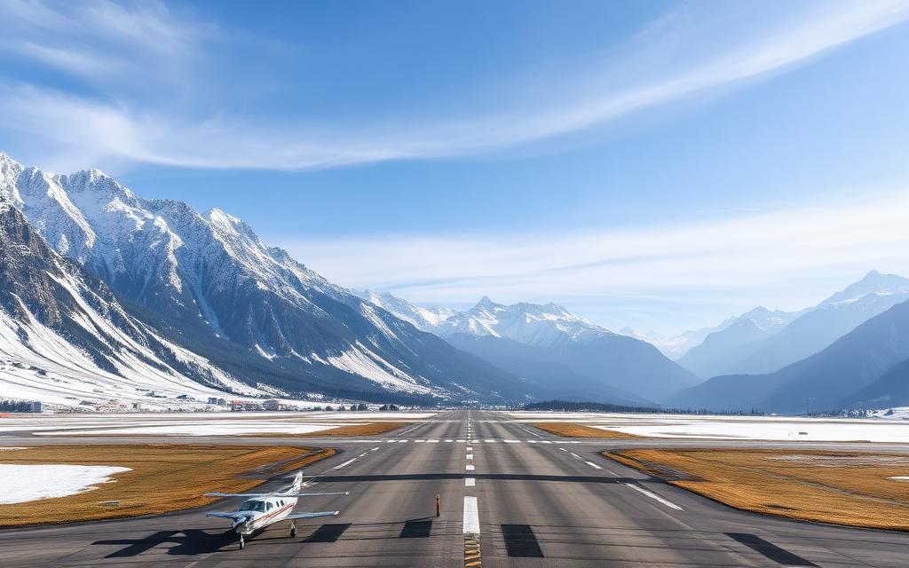
Manatee Airport
IATA MZEICAO MZSLSmall airfield
Manatee Airport is a small airfield near Spanish Lookout in Cayo District, Belize. It is listed as IATA MZE and ICAO MZSL. The airport is located at 17.2785° / -89.0238° at an elevation of 105 m (343 ft). There is one runway, the longest measuring 1,241 m. The nearest airport is Matthew Spain Airport, 10 km (6 mi) away. No scheduled service is recorded for this airfield.


Data
| IATA code | MZE |
|---|---|
| ICAO code | MZSL |
| Identifier | MZE |
| Type | Small airfield |
| City | Spanish Lookout |
| Region | Cayo District |
| Country | Belize |
| Coordinates | 17.27846, -89.02380 |
| Coordinates (deg/min/sec) | 17° 16′ 42.46″ N 89° 01′ 25.68″ W |
| Elevation | 105 m (343 ft) |
| Scheduled service | no |
Travel gear that fits
Automatically selected recommendations for a trip to Manatee Airport – based on climate, location and airport type.
 Cayo District travel guide
Routes, towns and day trips across Cayo District.
View on Amazon- Belize travel guide
The overview for your trip: regions, culture, getting around and practical tips for Belize.
View on Amazon  Belize cookbook
The country's cuisine to cook at home – before or after the trip.
View on Amazon Travel adapter G
The destination uses socket types G at 120 V – the right adapter keeps everything charged.
View on Amazon Spotting binoculars
Identify registrations and types from the fence – bright and handy.
View on Amazon Filter water bottle
Where tap water is risky: a bottle with a built-in filter.
View on Amazon
Advertising: as an Amazon Associate we earn from qualifying purchases. The price stays the same for you.
Runways
| Runway | Length | Width | Surface | Lighted |
|---|---|---|---|---|
09/27 | 1,241 m | – | chipseal | no |
Links
Nearby airports
- SQSMatthew Spain Airport10 km (6 mi)
- CYDSan Ignacio Town (Maya Flats) Airstrip21 km (13 mi)
- BCVHector Silva Airstrip26 km (16 mi)
- BZ-0007Privassion Airstrip28 km (17 mi)
- BZ-0001Chan Chich Airstrip32 km (20 mi)
- BZ-0013Guacamallo Bridge Helipad46 km (29 mi)
- UAXUaxactun Airport66 km (41 mi)
- BZ-0003San Felipe Airstrip69 km (43 mi)
- BZ-0014Tres Leguas Airport69 km (43 mi)
- GT-0033Macanche Airport73 km (45 mi)
- BZ-0015Backlanding Airport79 km (49 mi)
- DONDos Lagunas Airport80 km (50 mi)