
Millington-Memphis Airport
IATA NQAICAO KNQAMedium airport
Millington-Memphis Airport is a medium airport near Millington in Tennessee, United States. It is listed as IATA NQA and ICAO KNQA. The airport is located at 35.3567° / -89.8703° at an elevation of 98 m (320 ft). There is one runway, the longest measuring 2,439 m. The nearest airport is Ray Airport, 4.7 km (3 mi) away. No scheduled service is recorded for this airfield.


Data
| IATA code | NQA |
|---|---|
| ICAO code | KNQA |
| Local code | NQA |
| Identifier | KNQA |
| Type | Medium airport |
| City | Millington |
| Region | Tennessee |
| Country | United States |
| Coordinates | 35.35670, -89.87030 |
| Coordinates (deg/min/sec) | 35° 21′ 24.12″ N 89° 52′ 13.08″ W |
| Elevation | 98 m (320 ft) |
| Scheduled service | no |
Travel gear that fits
Automatically selected recommendations for a trip to Millington-Memphis Airport – based on climate, location and airport type.
 Millington travel guide
Sights, neighbourhoods and tips for Millington – ideal for your arrival.
View on Amazon United States travel guide
The overview for your trip: regions, culture, getting around and practical tips for United States.
View on Amazon United States cookbook
The country's cuisine to cook at home – before or after the trip.
View on Amazon Travel adapter A/B
The destination uses socket types A/B at 120 V – the right adapter keeps everything charged.
View on Amazon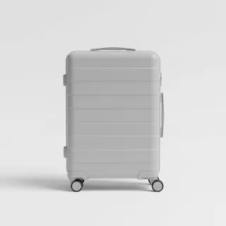 Carry-on trolley
Hard-shell case in standard cabin size – fits the overhead bins of most scheduled flights.
View on Amazon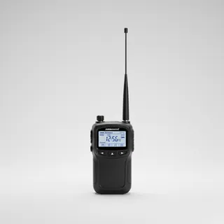 Airband scanner
Listen in on tower and approach frequencies – a classic among aviation fans.
View on Amazon
Advertising: as an Amazon Associate we earn from qualifying purchases. The price stays the same for you.
Runways
| Runway | Length | Width | Surface | Lighted |
|---|---|---|---|---|
04/22 | 2,439 m | 46 m | PEM | yes |
14/32 closed | 1,478 m | 46 m | PEM | no |
18/36 closed | 1,295 m | 61 m | PEM | no |
Links
Nearby airports
- TN01Ray Airport4.7 km (3 mi)
- K2M8Charles W. Baker Airport10 km (6 mi)
- 3TN1Methodist Hospital-North Heliport14 km (9 mi)
- 2TN4Shoemaker-Shelby Forest Airport16 km (10 mi)
- TN61Ranger Heliport17 km (11 mi)
- 27TNMemphis Police Department Heliport18 km (11 mi)
- 9TN6Performance Helicopters Heliport19 km (12 mi)
- TN58Parsons Field20 km (12 mi)
- 8TN8Field of Dreams Ultralightport21 km (13 mi)
- US-7379Arlington BMH/Freestanding Ed Heliport21 km (13 mi)
- 9TN7Baskin Airport23 km (14 mi)
- KM01General Dewitt Spain Airport24 km (15 mi)