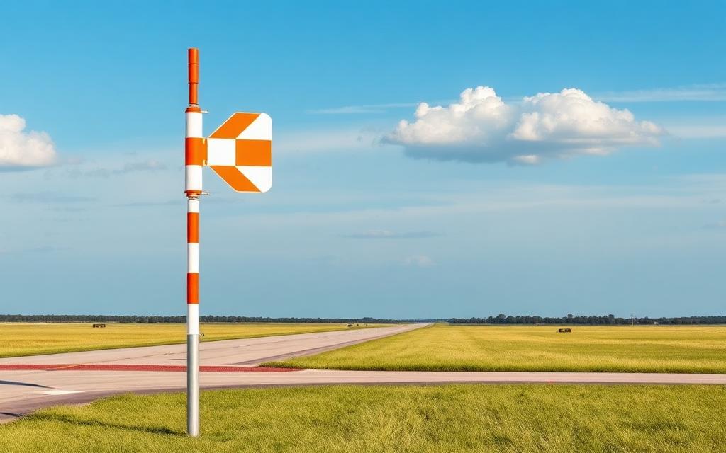
Chojnice Airfield
Small airfield
Chojnice Airfield is a small airfield near Chojnice in Pomeranian Voivodeship, Poland. The airport is located at 53.6808° / 17.5337° at an elevation of 163 m (536 ft). There is one runway, the longest measuring 500 m. The nearest airport is Konarzyny Air Base, 20 km (12 mi) away. No scheduled service is recorded for this airfield.


Data
| Identifier | PL-0167 |
|---|---|
| Type | Small airfield |
| City | Chojnice |
| Region | Pomeranian Voivodeship |
| Country | Poland |
| Coordinates | 53.68079, 17.53367 |
| Coordinates (deg/min/sec) | 53° 40′ 50.84″ N 17° 32′ 01.19″ E |
| Elevation | 163 m (536 ft) |
| Scheduled service | no |
Travel gear that fits
Automatically selected recommendations for a trip to Chojnice Airfield – based on climate, location and airport type.
 Pomeranian Voivodeship travel guide
Routes, towns and day trips across Pomeranian Voivodeship.
View on Amazon- Poland travel guide
The overview for your trip: regions, culture, getting around and practical tips for Poland.
View on Amazon  Polish phrasebook
The essential phrases in Polish – for taxis, hotels and restaurants.
View on Amazon Travel adapter C/F
The destination uses socket types C/F at 230 V – the right adapter keeps everything charged.
View on Amazon Spotting binoculars
Identify registrations and types from the fence – bright and handy.
View on Amazon Packable rain jacket
Changeable weather at your destination – windproof, water-repellent and packs down small.
View on Amazon
Advertising: as an Amazon Associate we earn from qualifying purchases. The price stays the same for you.
Runways
| Runway | Length | Width | Surface | Lighted |
|---|---|---|---|---|
03/21 | 500 m | – | Hard | no |
Nearby airports
- PL-0169Rytel-Uboga Airstrip21 km (13 mi)
- PL-0016Debrzno (Słupia) Highway Strip22 km (14 mi)
- PL-0014Brzezie Highway Strip39 km (25 mi)
- PL-0004Borsk Airfield41 km (25 mi)
- PL-0022Koronowo Highway Strip52 km (32 mi)
- PL-0089Korne Airfield54 km (34 mi)
- PL-0080Szczecinek-Wilcze Laski Airfield54 km (34 mi)
- PL-0029Osie (Lipinki) Highway Strip61 km (38 mi)
- PL-0182Czersk Świecki64 km (40 mi)
- EPBHBydgoszcz Baza Lpr Heliport64 km (40 mi)
- EPBGGołubie Heliport65 km (40 mi)
- PL-0275Borne Sulinowo Airfield67 km (42 mi)