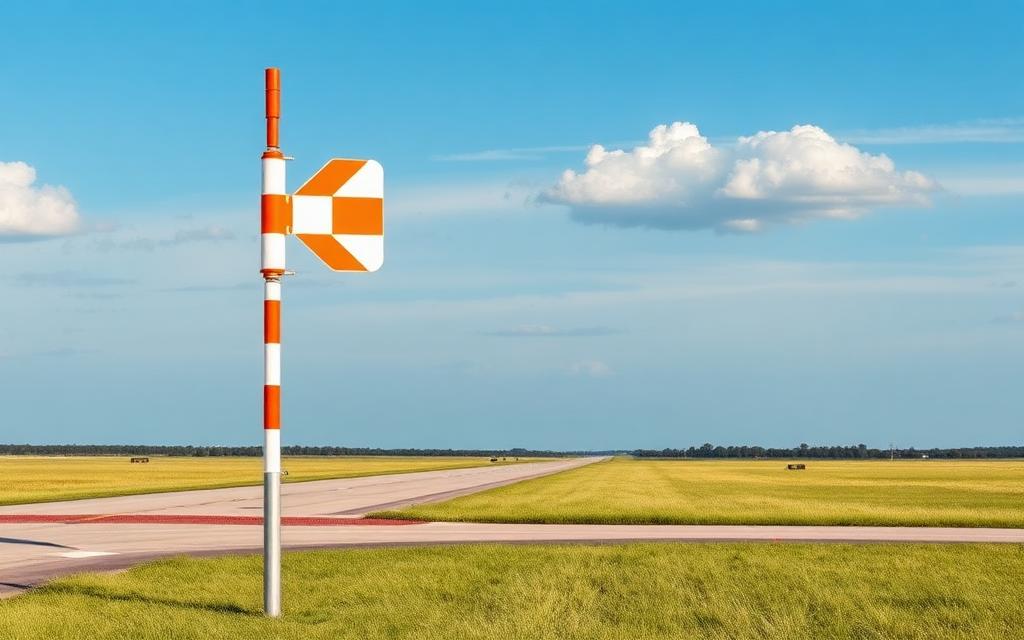
Tongareva Airport
IATA PYEICAO NCPYSmall airfield
Tongareva Airport is a small airfield near Penrhyn Island in (unassigned), Cook Islands. It is listed as IATA PYE and ICAO NCPY. The airport is located at -9.0144° / -158.0324° at an elevation of 2 m (8 ft). There is one runway, the longest measuring 2,157 m. The nearest airport is Rakahanga Airstrip, 354 km (220 mi) away. No scheduled service is recorded for this airfield.


Data
| IATA code | PYE |
|---|---|
| ICAO code | NCPY |
| Identifier | NCPY |
| Type | Small airfield |
| City | Penrhyn Island |
| Region | (unassigned) |
| Country | Cook Islands |
| Coordinates | -9.01437, -158.03241 |
| Coordinates (deg/min/sec) | 9° 00′ 51.73″ S 158° 01′ 56.68″ W |
| Elevation | 2 m (8 ft) |
| Scheduled service | no |
Travel gear that fits
Automatically selected recommendations for a trip to Tongareva Airport – based on climate, location and airport type.
 Cook Islands travel guide
The overview for your trip: regions, culture, getting around and practical tips for Cook Islands.
View on Amazon Cook Islands road map
A printed map for planning – works without signal or battery.
View on Amazon Cook Islands cookbook
The country's cuisine to cook at home – before or after the trip.
View on Amazon Waterproof dry bag
Boat, seaplane and island transfers: your electronics stay dry.
View on Amazon Microfibre towel
Dries fast, weighs almost nothing – ideal in coastal and island regions.
View on Amazon Packable rain jacket
Changeable weather at your destination – windproof, water-repellent and packs down small.
View on Amazon
Advertising: as an Amazon Associate we earn from qualifying purchases. The price stays the same for you.
Runways
| Runway | Length | Width | Surface | Lighted |
|---|---|---|---|---|
14/32 | 2,157 m | 30 m | UNK | no |