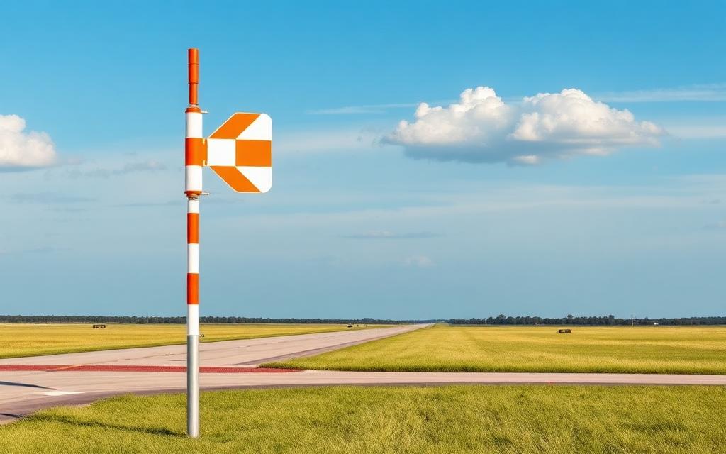
Ashley Field
ICAO SC01Small airfield
Ashley Field is a small airfield near Honea Path in South Carolina, United States. It is listed as ICAO SC01. The airport is located at 34.4459° / -82.3643° at an elevation of 237 m (777 ft). There are 2 runways, the longest measuring 914 m. The nearest airport is Oakhill Airpark, 16 km (10 mi) away. No scheduled service is recorded for this airfield.


Data
| ICAO code | SC01 |
|---|---|
| Local code | SC01 |
| Identifier | US-1242 |
| Type | Small airfield |
| City | Honea Path |
| Region | South Carolina |
| Country | United States |
| Coordinates | 34.44588, -82.36431 |
| Coordinates (deg/min/sec) | 34° 26′ 45.18″ N 82° 21′ 51.51″ W |
| Elevation | 237 m (777 ft) |
| Scheduled service | no |
Travel gear that fits
Automatically selected recommendations for a trip to Ashley Field – based on climate, location and airport type.
 South Carolina travel guide
Routes, towns and day trips across South Carolina.
View on Amazon- United States travel guide
The overview for your trip: regions, culture, getting around and practical tips for United States.
View on Amazon  South Carolina map
Detailed map for tours and trips in South Carolina.
View on Amazon Travel adapter A/B
The destination uses socket types A/B at 120 V – the right adapter keeps everything charged.
View on Amazon Spotting binoculars
Identify registrations and types from the fence – bright and handy.
View on Amazon Polarised sunglasses
Strong glare from sun, sand or snow – polarised lenses help.
View on Amazon
Advertising: as an Amazon Associate we earn from qualifying purchases. The price stays the same for you.
Runways
| Runway | Length | Width | Surface | Lighted |
|---|---|---|---|---|
13/31 | 914 m | 38 m | Turf | yes |
18/36 | 732 m | 38 m | Turf | yes |
Nearby airports
- SC82Oakhill Airpark15 km (10 mi)
- SC43Moores Field17 km (10 mi)
- GRDGreenwood County Airport29 km (18 mi)
- 1SC1Lagniappe STOL Field29 km (18 mi)
- SC97Riverbend Airpark31 km (19 mi)
- SC83Abbeville County Memorial Hospital Heliport32 km (20 mi)
- ANDAnderson Regional Airport32 km (20 mi)
- 3SC5Hillcrest Memorial Hospital Heliport32 km (20 mi)
- SC81Abbeville Airport33 km (20 mi)
- 2SC5Ridgewood Air Airport33 km (21 mi)
- SC34Iva Field34 km (21 mi)
- GDCDonaldson Field Airport35 km (22 mi)