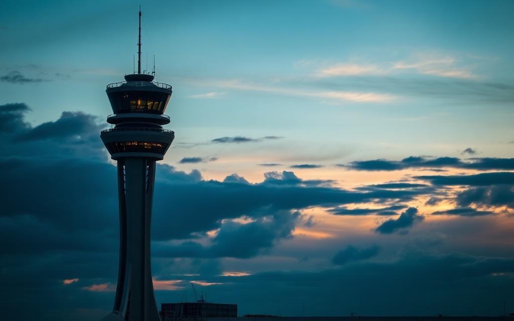
Seoul Air Base (K-16)
IATA SSNICAO RKSMMedium airport
Seoul Air Base (K-16) is a medium airport near Seongnam in Gyeonggi-do (Gyeonggi Province), South Korea. It is listed as IATA SSN and ICAO RKSM. The airport is located at 37.4447° / 127.1127° at an elevation of 28 m (92 ft). There are 2 runways, the longest measuring 2,957 m. The nearest airport is National Intelligence Service Heliport, 3.9 km (2 mi) away. No scheduled service is recorded for this airfield.


Data
| IATA code | SSN |
|---|---|
| ICAO code | RKSM |
| Identifier | RKSM |
| Type | Medium airport |
| City | Seongnam |
| Region | Gyeonggi-do (Gyeonggi Province) |
| Country | South Korea |
| Coordinates | 37.44474, 127.11272 |
| Coordinates (deg/min/sec) | 37° 26′ 41.08″ N 127° 06′ 45.78″ E |
| Elevation | 28 m (92 ft) |
| Scheduled service | no |
Travel gear that fits
Automatically selected recommendations for a trip to Seoul Air Base (K-16) – based on climate, location and airport type.
 Seongnam travel guide
Sights, neighbourhoods and tips for Seongnam – ideal for your arrival.
View on Amazon South Korea travel guide
The overview for your trip: regions, culture, getting around and practical tips for South Korea.
View on Amazon Korean phrasebook
The essential phrases in Korean – for taxis, hotels and restaurants.
View on Amazon Travel adapter A/B
The destination uses socket types A/B at 120 V – the right adapter keeps everything charged.
View on Amazon Spotting binoculars
Identify registrations and types from the fence – bright and handy.
View on Amazon Carry-on trolley
Hard-shell case in standard cabin size – fits the overhead bins of most scheduled flights.
View on Amazon
Advertising: as an Amazon Associate we earn from qualifying purchases. The price stays the same for you.
Runways
| Runway | Length | Width | Surface | Lighted |
|---|---|---|---|---|
01/19 | 2,743 m | 46 m | Concrete | yes |
02/20 | 2,957 m | 46 m | Concrete | yes |
Links
Nearby airports
- KR-0820National Intelligence Service Heliport3.9 km (2 mi)
- KR-0120Rosedale Building South Helipad4.7 km (3 mi)
- KR-0119Rosedale Building North Helipad4.8 km (3 mi)
- RK12C 281 Heliport5.0 km (3 mi)
- KR-0118Samsung Medical Center Helipad5.4 km (3 mi)
- RK3AC 271 Heliport5.5 km (3 mi)
- KR-0121National Police Hospital Heliport5.8 km (4 mi)
- KR-0122Poonglim Want North Helipad6.2 km (4 mi)
- KR-0123Poonglim Want West Helipad6.2 km (4 mi)
- KR-0124Poonglim Want South Helipad6.3 km (4 mi)
- RK6WC 201 Heliport6.7 km (4 mi)
- RK7CC 286 Heliport7.0 km (4 mi)