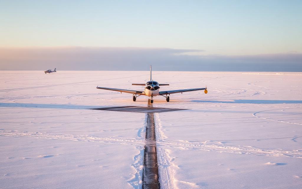
Ugashik Bay Airport
IATA UGBSmall airfield
Ugashik Bay Airport is a small airfield near Pilot Point in Alaska, United States. It is listed as IATA UGB. The airport is located at 57.4241° / -157.7448° at an elevation of 40 m (132 ft). There is one runway, the longest measuring 1,609 m. The nearest airport is Former Pilot Point Airport, 19 km (12 mi) away. No scheduled service is recorded for this airfield.


Data
| IATA code | UGB |
|---|---|
| Identifier | UGB |
| Type | Small airfield |
| City | Pilot Point |
| Region | Alaska |
| Country | United States |
| Coordinates | 57.42405, -157.74479 |
| Coordinates (deg/min/sec) | 57° 25′ 26.59″ N 157° 44′ 41.24″ W |
| Elevation | 40 m (132 ft) |
| Scheduled service | no |
Travel gear that fits
Automatically selected recommendations for a trip to Ugashik Bay Airport – based on climate, location and airport type.
 Alaska travel guide
Routes, towns and day trips across Alaska.
View on Amazon- United States travel guide
The overview for your trip: regions, culture, getting around and practical tips for United States.
View on Amazon  United States cookbook
The country's cuisine to cook at home – before or after the trip.
View on Amazon Travel adapter A/B
The destination uses socket types A/B at 120 V – the right adapter keeps everything charged.
View on Amazon Thermal base layer
Cold destination: merino keeps you warm even when damp.
View on Amazon Waterproof dry bag
Boat, seaplane and island transfers: your electronics stay dry.
View on Amazon
Advertising: as an Amazon Associate we earn from qualifying purchases. The price stays the same for you.
Runways
| Runway | Length | Width | Surface | Lighted |
|---|---|---|---|---|
12/30 | 1,609 m | 38 m | GRVL-P | no |
Links
Nearby airports
- PIPPilot Point Airport20 km (13 mi)
- UGSUgashik Airport24 km (15 mi)
- US-3348Randy Briggs Memorial Field24 km (15 mi)
- US-12910Painter Creek Airport36 km (22 mi)
- US-0913Ugashik Narrows Airport59 km (37 mi)
- US-3342Blue Mountain Lodge Airstrip62 km (38 mi)
- AK60Fort Jensen Airport64 km (40 mi)
- PTHPort Heiden Airport74 km (46 mi)
- EGXEgegik Airport87 km (54 mi)
- US-3340Coffee Point Airstrip90 km (56 mi)
- US-6263Scottys Island Airstrip92 km (57 mi)
- KCGChignik Airport129 km (80 mi)