
Fabick Two Heliport
Closed airfield
Fabick Two Heliport is a closed airfield near Sikeston in Missouri, United States. The airport is located at 36.8687° / -89.5784° at an elevation of 99 m (325 ft). There is one runway, the longest measuring 37 m. The nearest airport is Missouri Delta Heliport, 2.5 km (2 mi) away. No scheduled service is recorded for this airfield.


Data
| Identifier | US-10329 |
|---|---|
| Type | Closed airfield |
| City | Sikeston |
| Region | Missouri |
| Country | United States |
| Coordinates | 36.86870, -89.57840 |
| Coordinates (deg/min/sec) | 36° 52′ 07.31″ N 89° 34′ 42.24″ W |
| Elevation | 99 m (325 ft) |
| Scheduled service | no |
Travel gear that fits
Automatically selected recommendations for a trip to Fabick Two Heliport – based on climate, location and airport type.
 Missouri travel guide
Routes, towns and day trips across Missouri.
View on Amazon- United States travel guide
The overview for your trip: regions, culture, getting around and practical tips for United States.
View on Amazon  Missouri map
Detailed map for tours and trips in Missouri.
View on Amazon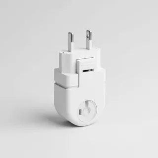 Travel adapter A/B
The destination uses socket types A/B at 120 V – the right adapter keeps everything charged.
View on Amazon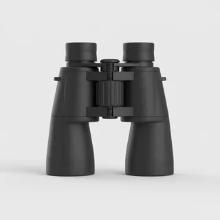 Spotting binoculars
Identify registrations and types from the fence – bright and handy.
View on Amazon Sunscreen SPF 50
High UV exposure at the destination – sun protection belongs in your cabin bag.
View on Amazon
Advertising: as an Amazon Associate we earn from qualifying purchases. The price stays the same for you.
Runways
| Runway | Length | Width | Surface | Lighted |
|---|---|---|---|---|
H1 | 37 m | 29 m | Asphalt | no |
Nearby airports
- MU45Missouri Delta Heliport2.5 km (2 mi)
- SIKSikeston Memorial Municipal Airport3.7 km (2 mi)
- US-4882Air Evac 3 Heliport9.0 km (6 mi)
- US-7914Ag Air Airport12 km (8 mi)
- US-5154Malone Airfield15 km (9 mi)
- US-8020Aerial Crop Services Airport18 km (11 mi)
- KCHQMississippi County Airport20 km (12 mi)
- US-6200Thompson Flying Service Airport20 km (13 mi)
- MO57Henderson Mounds E B G Airport21 km (13 mi)
- US-8821Westcoat Flying Service Airport21 km (13 mi)
- US-7917Blair Aviation Airport23 km (14 mi)
- US-6201Lost Hill Aviation Airport31 km (19 mi)