
Dowd Field
Closed airfield
Dowd Field is a closed airfield near Fibre in Michigan, United States. The airport is located at 46.2020° / -84.7423° at an elevation of 215 m (705 ft). There is one runway, the longest measuring 533 m. The nearest airport is Raco Army Airfield, 17 km (11 mi) away. No scheduled service is recorded for this airfield.


Data
| Identifier | US-11681 |
|---|---|
| Type | Closed airfield |
| City | Fibre |
| Region | Michigan |
| Country | United States |
| Coordinates | 46.20199, -84.74229 |
| Coordinates (deg/min/sec) | 46° 12′ 07.17″ N 84° 44′ 32.25″ W |
| Elevation | 215 m (705 ft) |
| Scheduled service | no |
Travel gear that fits
Automatically selected recommendations for a trip to Dowd Field – based on climate, location and airport type.
 Michigan travel guide
Routes, towns and day trips across Michigan.
View on Amazon- United States travel guide
The overview for your trip: regions, culture, getting around and practical tips for United States.
View on Amazon  United States road map
A printed map for planning – works without signal or battery.
View on Amazon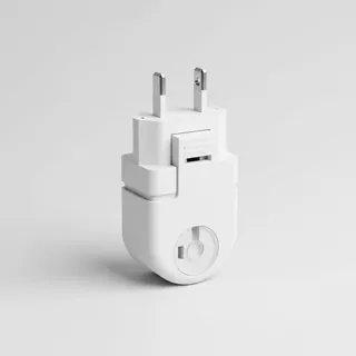 Travel adapter A/B
The destination uses socket types A/B at 120 V – the right adapter keeps everything charged.
View on Amazon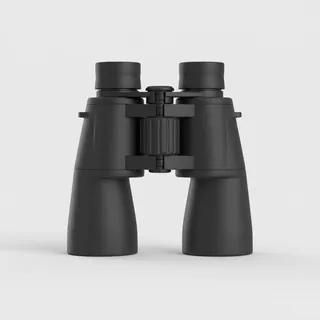 Spotting binoculars
Identify registrations and types from the fence – bright and handy.
View on Amazon Packable rain jacket
Changeable weather at your destination – windproof, water-repellent and packs down small.
View on Amazon
Advertising: as an Amazon Associate we earn from qualifying purchases. The price stays the same for you.
Runways
| Runway | Length | Width | Surface | Lighted |
|---|---|---|---|---|
E/W | 533 m | 27 m | Turf | no |
Nearby airports
- CIUChippewa County International Airport22 km (14 mi)
- K5Y1Albert J Lindberg Airport31 km (19 mi)
- K83DMackinac County Airport35 km (21 mi)
- YAMSault Ste Marie Airport36 km (22 mi)
- MCDMackinac Island Airport38 km (24 mi)
- 0MI6Young's Airport40 km (25 mi)
- KANJSault Ste Marie Municipal Airport Sanderson Field42 km (26 mi)
- US-1213Sault Ste Marie International Seaplane Base46 km (29 mi)
- CNR3Sault Ste. Marie Heliport47 km (29 mi)
- CPX8Sault Ste. Marie Seaplane Base47 km (29 mi)
- CSM9Sault Area Hospital Heliport51 km (31 mi)
- K6Y1Bois Blanc Airport52 km (32 mi)