
Concord-Padgett Regional Airport
IATA USAICAO KJQFMedium airport
Concord-Padgett Regional Airport is a medium airport near Concord in North Carolina, United States. It is listed as IATA USA and ICAO KJQF. The airport is located at 35.3878° / -80.7091° at an elevation of 215 m (705 ft). There is one runway, the longest measuring 2,256 m. The nearest airport is Hendrick Motorsports Heliport, 3.4 km (2 mi) away. The airport is served by scheduled flights.


Data
| IATA code | USA |
|---|---|
| ICAO code | KJQF |
| Local code | JQF |
| Identifier | KJQF |
| Type | Medium airport |
| City | Concord |
| Region | North Carolina |
| Country | United States |
| Coordinates | 35.38780, -80.70910 |
| Coordinates (deg/min/sec) | 35° 23′ 16.07″ N 80° 42′ 32.76″ W |
| Elevation | 215 m (705 ft) |
| Scheduled service | yes |
Travel gear that fits
Automatically selected recommendations for a trip to Concord-Padgett Regional Airport – based on climate, location and airport type.
 Concord travel guide
Sights, neighbourhoods and tips for Concord – ideal for your arrival.
View on Amazon United States travel guide
The overview for your trip: regions, culture, getting around and practical tips for United States.
View on Amazon History & culture: United States
Background knowledge that brings a trip to United States to life.
View on Amazon Travel adapter A/B
The destination uses socket types A/B at 120 V – the right adapter keeps everything charged.
View on Amazon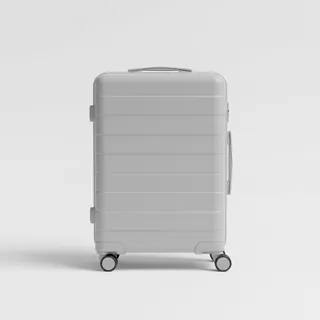 Carry-on trolley
Hard-shell case in standard cabin size – fits the overhead bins of most scheduled flights.
View on Amazon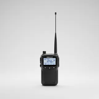 Airband scanner
Listen in on tower and approach frequencies – a classic among aviation fans.
View on Amazon
Advertising: as an Amazon Associate we earn from qualifying purchases. The price stays the same for you.
Runways
| Runway | Length | Width | Surface | Lighted |
|---|---|---|---|---|
02/20 | 2,256 m | 30 m | Asphalt | yes |
Links
Nearby airports
- NC41Hendrick Motorsports Heliport3.4 km (2 mi)
- US-5269Charlotte Motor Speedway Heliport4.4 km (3 mi)
- NC05Bradford Field Airport8.1 km (5 mi)
- 4NC8Buffalo Creek Airport8.9 km (6 mi)
- US-4799Atrium Health University City Heliport9.8 km (6 mi)
- 3NC6Mc Cachren Field10 km (6 mi)
- NC60Atrium Health Cabarrus Heliport11 km (7 mi)
- NR30Atrium Health Harrisburg Heliport12 km (7 mi)
- NC19Propst Airport12 km (8 mi)
- 31NCNH HMC Heliport14 km (9 mi)
- NC77Chalfant Airport14 km (9 mi)
- US-5067Atrium Health Huntersville Heliport15 km (9 mi)