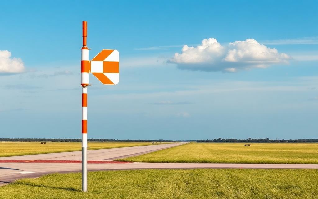
Van Ferit Melen Airport
IATA VANICAO LTCIMedium airport
Van Ferit Melen Airport is a medium airport near Van in Van Province, Turkey. It is listed as IATA VAN and ICAO LTCI. The airport is located at 38.4682° / 43.3323° at an elevation of 1,670 m (5,480 ft). There is one runway, the longest measuring 2,750 m. The nearest airport is Tatvan Airport, 87 km (54 mi) away. The airport is served by scheduled flights.


Data
| IATA code | VAN |
|---|---|
| ICAO code | LTCI |
| Identifier | LTCI |
| Type | Medium airport |
| City | Van |
| Region | Van Province |
| Country | Turkey |
| Coordinates | 38.46820, 43.33230 |
| Coordinates (deg/min/sec) | 38° 28′ 05.52″ N 43° 19′ 56.27″ E |
| Elevation | 1,670 m (5,480 ft) |
| Scheduled service | yes |
Travel gear that fits
Automatically selected recommendations for a trip to Van Ferit Melen Airport – based on climate, location and airport type.
 Van travel guide
Sights, neighbourhoods and tips for Van – ideal for your arrival.
View on Amazon Turkey travel guide
The overview for your trip: regions, culture, getting around and practical tips for Turkey.
View on Amazon Turkish phrasebook
The essential phrases in Turkish – for taxis, hotels and restaurants.
View on Amazon Hiking shoes
Mountainous surroundings near the airport – solid footwear pays off.
View on Amazon Travel adapter C/F
The destination uses socket types C/F at 230 V – the right adapter keeps everything charged.
View on Amazon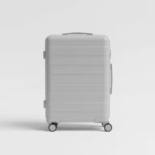 Carry-on trolley
Hard-shell case in standard cabin size – fits the overhead bins of most scheduled flights.
View on Amazon
Advertising: as an Amazon Associate we earn from qualifying purchases. The price stays the same for you.
Runways
| Runway | Length | Width | Surface | Lighted |
|---|---|---|---|---|
03/21 | 2,750 m | 45 m | Asphalt | yes |
Links
Nearby airports
- TR-0035Tatvan Airport87 km (54 mi)
- TR-0319Yukari Gülderen Border Post Helipad92 km (57 mi)
- TR-0320Beydogan Border Post Helipad94 km (58 mi)
- TR-0255Kaşım Border Post Helipad98 km (61 mi)
- TR-0254Osmanlı Border Post Helipad100 km (62 mi)
- TR-0253Yayuz Sel Border Post Helipad100 km (62 mi)
- TR-0252Sarıçimen Border Post Helipad103 km (64 mi)
- TR-0251Hangediği Border Post Helipad106 km (66 mi)
- TR-0250Soğuksu Border Post Helipad108 km (67 mi)
- TR-0249Uzunyol Border Post Helipad111 km (69 mi)
- TR-0163Güroymak Jandarma Helipad113 km (70 mi)
- TR-0248Gülizar Border Post Helipad115 km (71 mi)