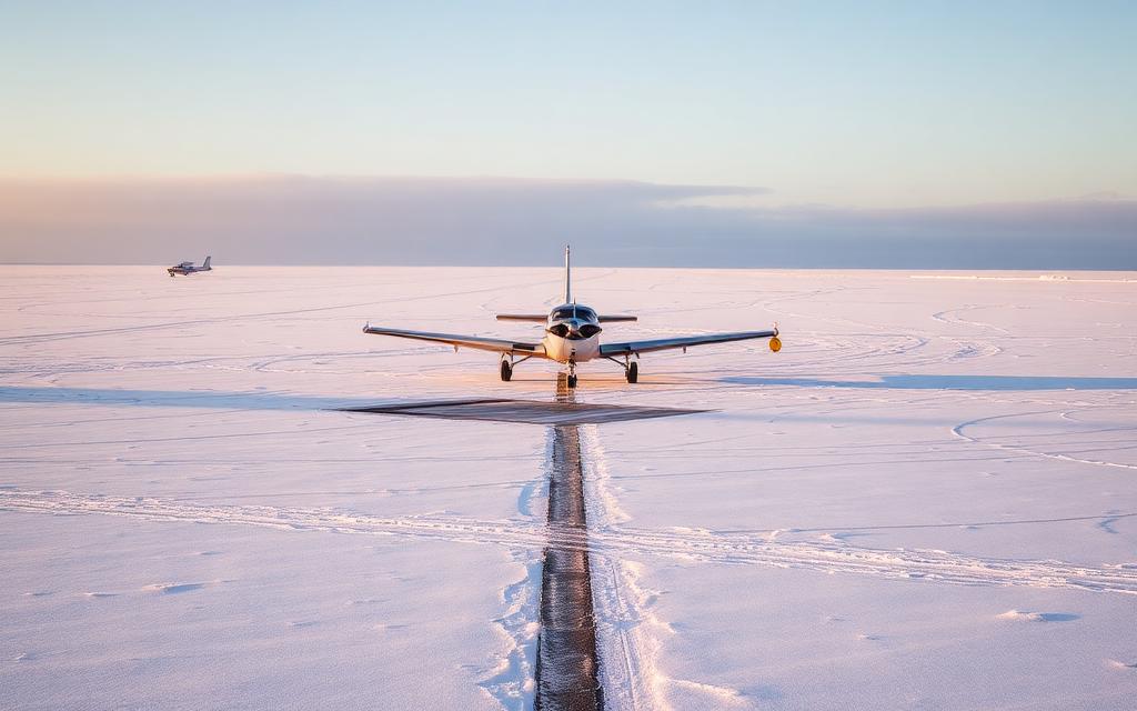
Anisakan Airport
ICAO VYASSmall airfield
Anisakan Airport is a small airfield near Anisakan in Mandalay Region, Myanmar. It is listed as ICAO VYAS. The airport is located at 21.9554° / 96.4061° at an elevation of 914 m (3,000 ft). There is one runway, the longest measuring 3,054 m. The nearest airport is Chanmyathazi Airport, 33 km (20 mi) away. No scheduled service is recorded for this airfield.


Data
| ICAO code | VYAS |
|---|---|
| Identifier | VYAS |
| Type | Small airfield |
| City | Anisakan |
| Region | Mandalay Region |
| Country | Myanmar |
| Coordinates | 21.95540, 96.40610 |
| Coordinates (deg/min/sec) | 21° 57′ 19.44″ N 96° 24′ 21.95″ E |
| Elevation | 914 m (3,000 ft) |
| Scheduled service | no |
Travel gear that fits
Automatically selected recommendations for a trip to Anisakan Airport – based on climate, location and airport type.
 Mandalay Region travel guide
Routes, towns and day trips across Mandalay Region.
View on Amazon- Myanmar travel guide
The overview for your trip: regions, culture, getting around and practical tips for Myanmar.
View on Amazon  Burmese phrasebook
The essential phrases in Burmese – for taxis, hotels and restaurants.
View on Amazon Travel adapter D/M
The destination uses socket types D/M at 230 V – the right adapter keeps everything charged.
View on Amazon Spotting binoculars
Identify registrations and types from the fence – bright and handy.
View on Amazon Insect repellent
Important in tropical regions – protection against bites and transmitted diseases.
View on Amazon
Advertising: as an Amazon Associate we earn from qualifying purchases. The price stays the same for you.
Runways
| Runway | Length | Width | Surface | Lighted |
|---|---|---|---|---|
03/21 | 3,054 m | 62 m | Concrete | no |
Links
Nearby airports
- VBCChanmyathazi Airport33 km (20 mi)
- MDLMandalay International Airport52 km (33 mi)
- VYSTShante Air Base124 km (77 mi)
- MOEMomeik Airport129 km (80 mi)
- VYMLMeiktila Air Base130 km (81 mi)
- NYWMonywar Airport138 km (86 mi)
- HEHHeho Airport140 km (87 mi)
- VYSLSalingyi Airport144 km (90 mi)
- PKKPakhokku Airport147 km (91 mi)
- NMTNamtu Airport161 km (100 mi)
- NYUBagan Airport175 km (109 mi)
- VYMIMongyai Airport177 km (110 mi)