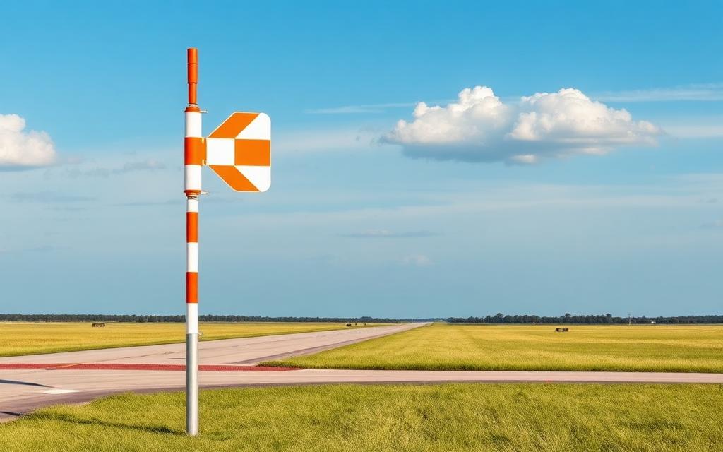
General William J Fox Airfield
IATA WJFICAO KWJFMedium airport
General William J Fox Airfield is a medium airport near Lancaster in California, United States. It is listed as IATA WJF and ICAO KWJF. The airport is located at 34.7411° / -118.2190° at an elevation of 717 m (2,351 ft). There is one runway, the longest measuring 2,195 m. The nearest airport is High Desert Hospital Heliport, 4.3 km (3 mi) away. No scheduled service is recorded for this airfield.


Data
| IATA code | WJF |
|---|---|
| ICAO code | KWJF |
| Local code | WJF |
| Identifier | KWJF |
| Type | Medium airport |
| City | Lancaster |
| Region | California |
| Country | United States |
| Coordinates | 34.74110, -118.21900 |
| Coordinates (deg/min/sec) | 34° 44′ 27.96″ N 118° 13′ 08.41″ W |
| Elevation | 717 m (2,351 ft) |
| Scheduled service | no |
Travel gear that fits
Automatically selected recommendations for a trip to General William J Fox Airfield – based on climate, location and airport type.
 Lancaster travel guide
Sights, neighbourhoods and tips for Lancaster – ideal for your arrival.
View on Amazon United States travel guide
The overview for your trip: regions, culture, getting around and practical tips for United States.
View on Amazon United States photo book
Large-format photography of landscapes and cities in United States.
View on Amazon Travel adapter A/B
The destination uses socket types A/B at 120 V – the right adapter keeps everything charged.
View on Amazon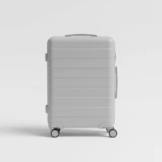 Carry-on trolley
Hard-shell case in standard cabin size – fits the overhead bins of most scheduled flights.
View on Amazon Spotting binoculars
Identify registrations and types from the fence – bright and handy.
View on Amazon
Advertising: as an Amazon Associate we earn from qualifying purchases. The price stays the same for you.
Runways
| Runway | Length | Width | Surface | Lighted |
|---|---|---|---|---|
06/24 | 2,195 m | 46 m | Asphalt | yes |
Links
Nearby airports
- US-2956High Desert Hospital Heliport4.3 km (3 mi)
- 0CL6Bohunk's Airpark7.4 km (5 mi)
- US-3938Grimes Airport7.5 km (5 mi)
- 1CL1Little Buttes Antique Airfield8.0 km (5 mi)
- US-0288Antelope Valley Hospital Medical Center Heliport8.0 km (5 mi)
- US-6799Los Angeles County Sheriff Lancaster Station Heliport8.7 km (5 mi)
- CL40SCE Antelope Valley Service Center Heliport12 km (8 mi)
- KL00Rosamond Skypark Airport14 km (9 mi)
- 21CLSheriff's Heliport15 km (10 mi)
- PMDPalmdale Regional Airport / USAF Plant 42 Airport17 km (11 mi)
- 50CNPalmdale Medical Center Heliport19 km (12 mi)
- CL74Skyotee Ranch Airport19 km (12 mi)