
Rochedale Helipad
ICAO YRCDHeliport
Rochedale Helipad is a heliport near Rocklea in Queensland, Australia. It is listed as ICAO YRCD. The airport is located at -27.5789° / 153.1308° at an elevation of 75 m (247 ft). The nearest airport is Brisbane Archerfield Airport, 13 km (8 mi) away. No scheduled service is recorded for this airfield.


Data
| ICAO code | YRCD |
|---|---|
| Identifier | YRCD |
| Type | Heliport |
| City | Rocklea |
| Region | Queensland |
| Country | Australia |
| Coordinates | -27.57889, 153.13083 |
| Coordinates (deg/min/sec) | 27° 34′ 44.00″ S 153° 07′ 51.00″ E |
| Elevation | 75 m (247 ft) |
| Scheduled service | no |
Travel gear that fits
Automatically selected recommendations for a trip to Rochedale Helipad – based on climate, location and airport type.
 Queensland travel guide
Routes, towns and day trips across Queensland.
View on Amazon- Australia travel guide
The overview for your trip: regions, culture, getting around and practical tips for Australia.
View on Amazon  Australia cookbook
The country's cuisine to cook at home – before or after the trip.
View on Amazon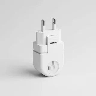 Travel adapter I
The destination uses socket types I at 230 V – the right adapter keeps everything charged.
View on Amazon Sunscreen SPF 50
High UV exposure at the destination – sun protection belongs in your cabin bag.
View on Amazon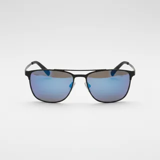 Polarised sunglasses
Strong glare from sun, sand or snow – polarised lenses help.
View on Amazon
Advertising: as an Amazon Associate we earn from qualifying purchases. The price stays the same for you.
Runways
No runways are recorded for this airfield.
Nearby airports
- YBAFBrisbane Archerfield Airport13 km (8 mi)
- YPRIPrincess Alexandra Hospital Helipad13 km (8 mi)
- AU-0087Redland Hospital Helicopter Landing Site14 km (9 mi)
- LGRSLogan Reserve Airport14 km (9 mi)
- YMATMater Hospital Helipad14 km (9 mi)
- YXQCQueensland Childrens Hospital Helipad15 km (9 mi)
- YHSJHolt Street Jetty Heliport16 km (10 mi)
- YTEKSikorsky Helitech Heliport16 km (10 mi)
- YRBCRoyal Brisbane Hospital Helipad Charlie18 km (11 mi)
- YRBHRoyal Brisbane Hospital Helipad Alpha18 km (11 mi)
- AU-0084Brisbane Water Police Helipad20 km (12 mi)
- AU-0189Coochiemudlo - Cricket Oval HLS20 km (12 mi)