
Dimension Data Helipad
Heliport
Dimension Data Helipad is a heliport near Sandton in Gauteng, South Africa. The airport is located at -26.0422° / 28.0248° at an elevation of 1,522 m (4,993 ft). The nearest airport is Mediclinic Sandton Heliport, 4.2 km (3 mi) away. No scheduled service is recorded for this airfield.


Data
| Identifier | ZA-0212 |
|---|---|
| Type | Heliport |
| City | Sandton |
| Region | Gauteng |
| Country | South Africa |
| Coordinates | -26.04220, 28.02480 |
| Coordinates (deg/min/sec) | 26° 02′ 31.92″ S 28° 01′ 29.28″ E |
| Elevation | 1,522 m (4,993 ft) |
| Scheduled service | no |
Travel gear that fits
Automatically selected recommendations for a trip to Dimension Data Helipad – based on climate, location and airport type.
 Gauteng travel guide
Routes, towns and day trips across Gauteng.
View on Amazon- South Africa travel guide
The overview for your trip: regions, culture, getting around and practical tips for South Africa.
View on Amazon  South Africa photo book
Large-format photography of landscapes and cities in South Africa.
View on Amazon Polarised sunglasses
Strong glare from sun, sand or snow – polarised lenses help.
View on Amazon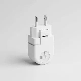 Travel adapter M/C
The destination uses socket types M/C at 230 V – the right adapter keeps everything charged.
View on Amazon Hiking shoes
Mountainous surroundings near the airport – solid footwear pays off.
View on Amazon
Advertising: as an Amazon Associate we earn from qualifying purchases. The price stays the same for you.
Runways
No runways are recorded for this airfield.
Nearby airports
- ZA-0203Mediclinic Sandton Heliport4.2 km (3 mi)
- ZA-0213Life Fourways Hospital Helipad4.5 km (3 mi)
- ZA-0209Sunninghill Hospital Helipad4.5 km (3 mi)
- ZA-0211Olivedale Clinic Helipad5.5 km (3 mi)
- ZA-0207Waterfall City Hospital Helipad8.4 km (5 mi)
- ZA-0201Ultimate Heliport8.7 km (5 mi)
- ZA-0024Sun Valley Airfield13 km (8 mi)
- GCJGrand Central Airport13 km (8 mi)
- ZA-0202Edenvale Hospital Helipad14 km (9 mi)
- ZA-0236ATE Helipad14 km (9 mi)
- ZA-0206Charlotte Maxeke Johannesburg Academic Hospital Helipad15 km (9 mi)
- ZA-0317Eagles Creek Aviation Estate Airport15 km (9 mi)