


Data
| Identifier | ZA-0295 |
|---|---|
| Type | Heliport |
| City | Villiers |
| Region | Mpumalanga |
| Country | South Africa |
| Coordinates | -26.95184, 28.72190 |
| Coordinates (deg/min/sec) | 26° 57′ 06.62″ S 28° 43′ 18.84″ E |
| Elevation | 1,518 m (4,979 ft) |
| Scheduled service | no |
Travel gear that fits
Automatically selected recommendations for a trip to Lekoa Heliport – based on climate, location and airport type.
 Mpumalanga travel guide
Routes, towns and day trips across Mpumalanga.
View on Amazon- South Africa travel guide
The overview for your trip: regions, culture, getting around and practical tips for South Africa.
View on Amazon  South Africa photo book
Large-format photography of landscapes and cities in South Africa.
View on Amazon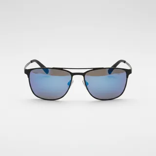 Polarised sunglasses
Strong glare from sun, sand or snow – polarised lenses help.
View on Amazon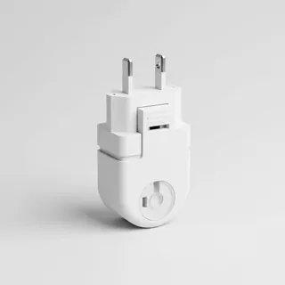 Travel adapter M/C
The destination uses socket types M/C at 230 V – the right adapter keeps everything charged.
View on Amazon Gloves and beanie
For destinations with harsh winters – warm yet light in your bag.
View on Amazon
Advertising: as an Amazon Associate we earn from qualifying purchases. The price stays the same for you.
Runways
No runways are recorded for this airfield.
Nearby airports
- ZA-0169Lekoa Airstrip1.1 km (1 mi)
- ZA-0294Grootbraai Airport11 km (7 mi)
- ZA-0023Villiers Airport16 km (10 mi)
- ZA-0030Dasville Airport29 km (18 mi)
- ZA-0217Jim Fouche Resort Airport35 km (22 mi)
- ZA-0293Afrikaanse Hengel Vereeniging (Afrikaans Fishing Association) Airport39 km (24 mi)
- ZA-0216Bierman Landgoed Airstrip40 km (25 mi)
- FAFFFrankfort Airport43 km (26 mi)
- ZA-0113Sunset Shores Airfield53 km (33 mi)
- ZA-0152Vaal Dam Airfield55 km (34 mi)
- FAHGHeidelburg Airport59 km (37 mi)
- ZA-0031Evander Landing Strip Airport62 km (39 mi)