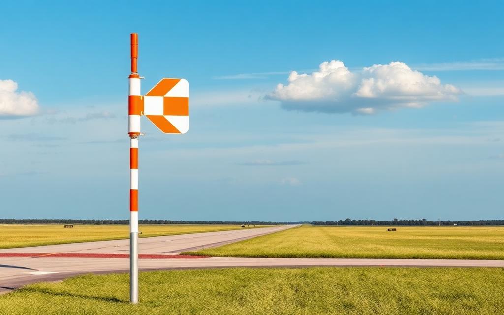
Hermanus Airport
Closed airfield
Hermanus Airport is a closed airfield near Hermanus in Western Cape, South Africa. The airport is located at -34.4153° / 19.1841° at an elevation of 22 m (72 ft). The nearest airport is Caledon Airfield, 28 km (17 mi) away. No scheduled service is recorded for this airfield.


Data
| Identifier | ZA-0332 |
|---|---|
| Type | Closed airfield |
| City | Hermanus |
| Region | Western Cape |
| Country | South Africa |
| Coordinates | -34.41528, 19.18407 |
| Coordinates (deg/min/sec) | 34° 24′ 54.99″ S 19° 11′ 02.67″ E |
| Elevation | 22 m (72 ft) |
| Scheduled service | no |
Travel gear that fits
Automatically selected recommendations for a trip to Hermanus Airport – based on climate, location and airport type.
 Western Cape travel guide
Routes, towns and day trips across Western Cape.
View on Amazon- South Africa travel guide
The overview for your trip: regions, culture, getting around and practical tips for South Africa.
View on Amazon  Western Cape map
Detailed map for tours and trips in Western Cape.
View on Amazon Travel adapter M/C
The destination uses socket types M/C at 230 V – the right adapter keeps everything charged.
View on Amazon Sunscreen SPF 50
High UV exposure at the destination – sun protection belongs in your cabin bag.
View on Amazon Spotting binoculars
Identify registrations and types from the fence – bright and handy.
View on Amazon
Advertising: as an Amazon Associate we earn from qualifying purchases. The price stays the same for you.
Runways
No runways are recorded for this airfield.
Nearby airports
- FACGCaledon Airfield27 km (17 mi)
- ZA-0192Pearly Beach Airstrip36 km (22 mi)
- FASHStellenbosch Airport59 km (36 mi)
- ZA-0321Black Oystercatcher64 km (40 mi)
- CPTCape Town International Airport72 km (45 mi)
- ZA-0357Mediclinic Cape Gate Heliport77 km (48 mi)
- ZA-0356False Bay Hospital Heliport77 km (48 mi)
- FAPUPaarl East Airport80 km (50 mi)
- FAWNCape Winelands Airport83 km (51 mi)
- ZA-0307Bredasdorp Airport84 km (52 mi)
- FAYPYsterplaat Air Force Base85 km (53 mi)
- FAWCWorcester Glider Airport86 km (54 mi)